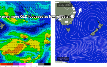
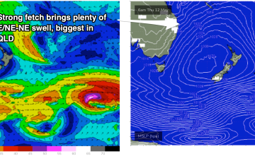
A long interior trough and developing trough/low off the North QLD coast are tightening the pressure gradient along most of the ridge, bringing fresh onshore winds and a deep E’ly pattern to the majority of Tasman Sea and Central/Southern Coral Sea.
Primary tabs
Further north an interior upper trough and potential coastal trough/surface low will combine to drive an intense E/NE to NE wind flow through the Coral and Northern Tasman Sea, generating a large stormsurf by Fri.
GFS has the more bullish outlook, with a trough or potential surface low forming off the Fraser Coast and tracking south through Fri13th- energising a long E to NE fetch through the Central Tasman to Coral Sea. In effect, it’s a slightly less energised version of the June 2016 Black Nor-Easter set-up.
We’ve got more of the same for the next few days. Next week though...
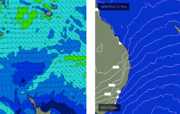
High pressure is sitting over the interior of Central NSW, leading to SE wind conditions, with a trade flow in the South Pacific supplying a steady drumbeat of fun, mid-sized E’ly swell.
The broad trade pattern supplying the weekend’s swell source will become enhanced over the coming days as a tropical low between New Caledonia and Fiji this weekend squeezes the synoptic flow.
A large 1029 hPa high pressure system is sitting smack bang in the middle of the Southern Tasman Sea in a deepening phase, with a series of tropical troughs in the Northern Coral Sea beginning to expand Tradewinds through the tropics.
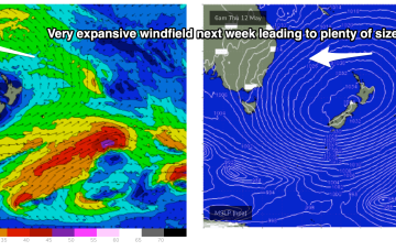
Plenty of E swell ahead next week as Tradewinds and a sub-tropical low drifts south through the South Pacific slot.
The chief factor will be wind and there’ll be plenty of it from the SE, as a dominant high moving across Tasmania builds a very firm ridge along the sub-tropical and tropical coasts of NSW and QLD.
Further out in the South Pacific, well to the NE of the North Island, the remnants of the long trough line through the eastern swell window, have deepened, with a broad fetch of E/NE to E winds now activated

