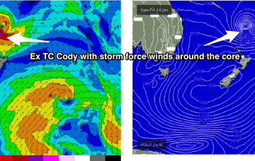
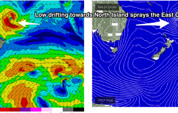
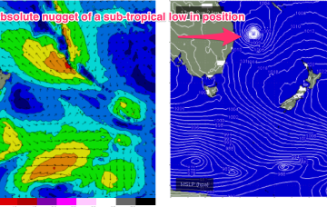
The low (Ex TC Cody) is drifting slowly south-southeastwards towards the North Island with an extensive swath of storm force (50knot) winds along the south-western flank. These storm forces winds are embedded in an expansive gale force wind field.
Primary tabs
Current ASCAT (satellite windspeed) passes show a healthy fetch of E’ly winds flanking TC Cody as drifts south/south-east of the area between Fiji and New Caledonia towards the North Island.
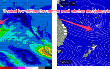
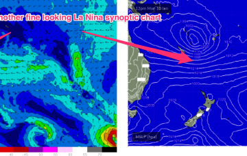
Our current synoptic pattern is typical of the season and the La Nina end of the ENSO cycle. High pressure straddles New Zealand and a tropical low now drifting south from between Fiji and Vanuatu.
By Tues the wave climate will come more under the direct influence of the tropics, with a broad Tradewinds band being accelerated by a tropical low drifting South from area between Fiji and Vanuatu.
The sub-tropical high pressure belt also extends Eastwards of New Zealand and the cradling effect of this belt along the low pressure zone is expected to create a long fetch of enhanced Tradewinds during next week.
More action in the tropics next week. Later this week another tropical low is expected to form in the South Pacific- possibly between Fiji and Vanuatu.
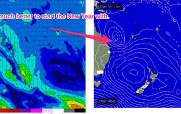
A tropical hybrid low is now tracking SE down the Coral Sea, roughly parallel to the QLD coast. This will bring plenty of solid swell to the f/cast region over the short term
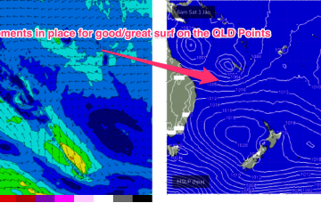
Surf prospects from this low are now confirmed as excellent with major weather models expecting the system to track parallel to the East Coast, spraying the region with swell as it does so and, possibly reforming as a significant extra-tropical storm in the lower Tasman Sea next week.
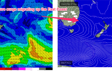
In the tropics the Monsoon trough is now active, with good odds of cylogenesis occurring before the New Year and plenty of surf ahead.
Models have invested in the start of the Northern Australian Monsoon (NAM) as the year ends, suggesting a tropical low tracking across the Northern Territory into the Gulf of Carpenteria and then across Cape York Peninsula into the Coral Sea towards the end of next week.

