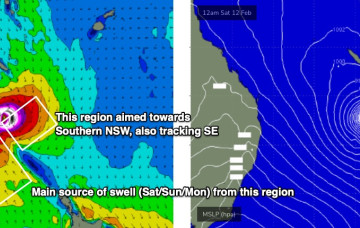
A broad region of low pressure in the central/northeastern Tasman Sea is maintaining easterly thru’ south-easterly gales (via two seperate fetches) aimed mainly towards Southern NSW, but a healthy percentage is pushing SE energy up into Northern NSW.
Primary tabs
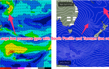
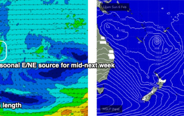
A strong monsoonal surge pushing off the tropics into the Coral Sea is super-charged by the vorticity created by the monster high pressure ridge. Models now seem in broad agreement that a large, dual-centred, low pressure gyre forms across the Coral Sea/South Pacific and into the North Tasman Sea.
The main feature of the forecast period of a gusty southerly change that’s already arrived in Southern NSW, and will push across the Mid North Coast overnight, reaching Far Northern NSW mid-late morning and the Gold Coast around lunchtime.
This extended run of quality point break surf means there's a chance for the crowds to spread out over the course of the week which, combined with a consistent, super-charged trade swell event, should allow a (relatively) healthy wave count for all and sundry.
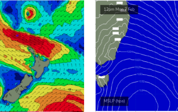
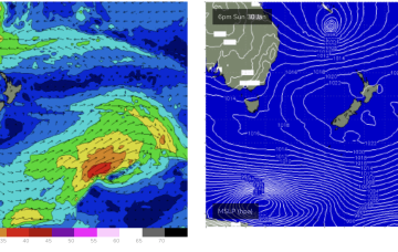
The charts will show a low pressure system tracking in from the South Pacific with a very healthy fetch between the low and a supporting high straddling New Zealand over Sun into Mon.
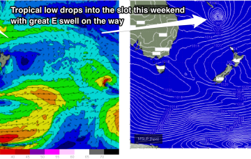
First, from the west as a trough/low tied to the Southern and Indian Oceans moves through WA and SA and then from the East as a tropical low drifts into the slot from behind New Caledonia this weekend. That spells a lot of surf ahead.
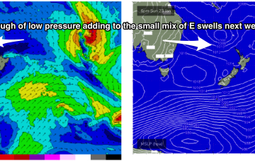
A trough of low pressure has drifted south-westwards from the South Pacific into the area west of the North Island and looks a touch healthier than it did during Friday.
This is maintaining the ridge of high pressure along most of the East Coast, with a slight and slow easing of pressure gradients expected over the weekend. An active Monsoon Trough lays across the North of the Continent extending out into the Coral Sea.
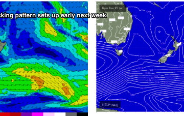
A classic Summer blocking pattern is now setting up with a slow moving high drifting well south of Victoria and a series of troughs interacting with a strong high pressure ridge which has reached Central NSW and is now building into more sub-tropical regions.
Ex TC Cody slipped behind the North Island late this weekend and is now slowly drying up as a swell source. Due to the slow moving nature of the system as it approached the North Island there’s still some more solid surf to come, with a final pulse of E/SE swell expected Wed.

