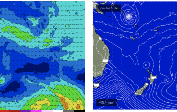
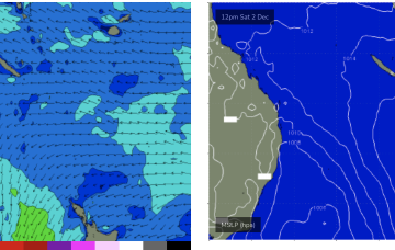
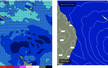
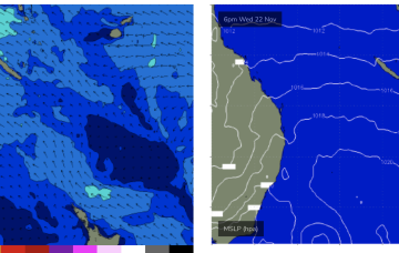
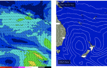
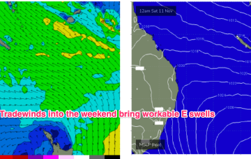
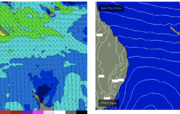
A new high pressure system moves E of Tasmania next week and there is some suggestion we’ll see a SE surge up the coast Tues, with a developing trade-wind flow through the rest of next week. Models are still divergent about the strength of the tradewinds so we’ll keep our jets cooled at far as size goes for now.
Primary tabs
Meanwhile the Coral Sea remains filled with weak winds, mostly glassed out over the short term with a N’ly flow developing mid week. We’re looking at continuing tiny/flat conditions this week with just minor NE windswell unlikely to be rideable.
It’s a weak synoptic pattern with no major swell sources and especially light winds across the Coral Sea.That will keep this f/cast update short- no surf to speak of.
With weak winds in the Coral Sea we’ll see tiny surf this week. Not dead flat, there’ll be just enough swell energy from a constant regime of weak E’ly winds to hold a very small weak swell, possibly just surfable on low tides.
Into next week and a large blocking high moving into the Tasman over the weekend is now weaker than expected and the resultant trade flow through the Coral Sea is also much weaker.
Therefore we’re now only looking at tiny surf for next week
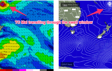
In addition a quick pulse of E/SE swell from TC Mal as it races through the swell window is expected Sat into with some 2ft sets.
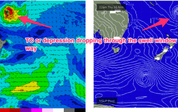
In the tropical South Pacific an area of convection is currently organising and deepening into a tropical depression and potential TC east of the Solomon Islands. This depression or TC is expected to race through the swell window and send a small pulse of swell our way.
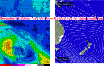
No great change to the f/cast. A large (1030hPa) high near New Zealand is continuing to direct tradewinds through the Coral Sea, with the New Caledonia region being the strongest wind area.
A slowly developing tradewind flow in the Coral Sea will see a small E’ly swell signal become workable through the week, with signs we’ll see a perk up in size late this weekend and early next week.
Once the tradewind flow sets up early next week as the blocking high enters the Tasman we should start to see an increase in tradewind swell, likely by Tues at the latest.

