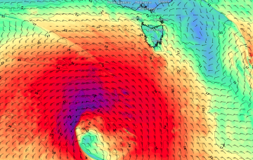
An interesting succession of poorly aligned but explosive Southern Ocean low pressure systems below the continent will generate a spread of acute south swell along the Southern NSW coast early next week.
Primary tabs
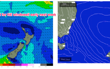
Ex TC Gabrielle (SS) is now on the eastern side of the North Island with swell generating winds also in the swell shadow of the North Island. A weak (1017HPa) high is covering most of the Tasman Sea with an active monsoon trough still supplying plenty of tropical moisture and instability across Northern Australia. Remnants of a trough near the South Island have set up a weak, off-axis fetch back into the Tasman Sea. It all spells a much quieter period of surf ahead.
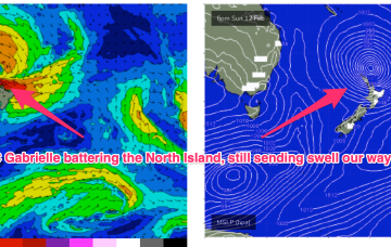
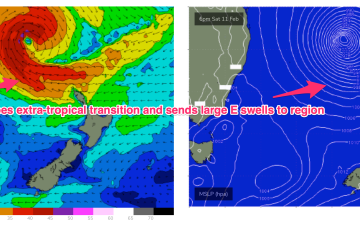
Ex TC Gabrielle is still the main game as far as swell production goes. The former cyclone is now a large sub-tropical storm (SS) slow moving near the top of the North Island. Current ASCAT (satellite windspeed) passes show a broad but short fetch of gales to severe gales extending off the west coast of the North Island, slightly off axis for the East Coast but maintaining a strong swell regime in the short term.
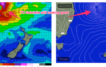
Severe tropical cyclone (Cat3) Gabrielle is currently tracking SE at about 16 knots and is located about 455 nm NE of Brisbane.
Over the next couple of days, TC Gabrielle will strengthen considerably and track south-east through the Coral Sea, enroute to the Northern Tasman.
A convective cloud mass between the Solomon Islands and Vanuatu is expected to consolidate and deepen into a tropical cyclone by mid week, tracking back into the Coral Sea towards the tropical QLD coast before recurving and drifting Southwards through the Coral Sea and eventually towards the North Island. Swell from this system is expected across most of the Eastern Seaboard.
Overall I’m expecting fun though slow 2-3ft sets, however wind strengths around the trough are capable of generating bigger sets.
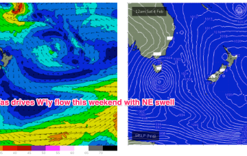
The unstable pattern continues with a small trough of low pressure lingering off the Central NSW Coast, linked to tropical cloud bands and moisture streaming in from the Northern Monsoon. This unstable, humid pattern lasts through the week before a winter-calibre mid-latitude low blasts a clearing W’ly flow across most of the region. Workable pulses of funky E swells maintain surfable conditions until the pattern change beginning Friday, extending into the weekend.
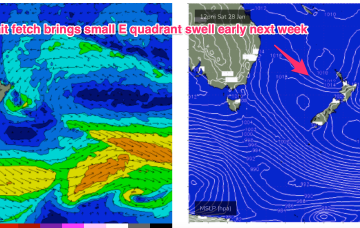
We’ve got a troughy, unstable synoptic pattern on our hands with monsoonal clouds and moisture extending from the Top End dawn to a trough off the NSW South Coast. Weak pressure gradients look to be with us for a few days as the trough lingers about the NSW Central/Mid North Coast, possibly forming a small low. Small pulses of E swell generated by fetches near the North Island supply some fun sized surf if you can work around the wind shifts expected this week.
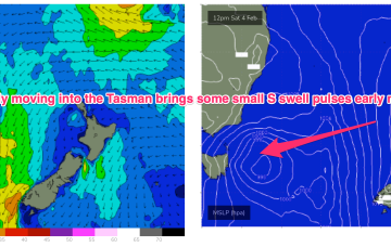
Weak high pressure is rapidly moving SE into the Tasman in the wake of yesterdays trough, which has stalled just north of the Hunter coast. E’ly fetches are still bubbling away near the North Island with more small E quadrant swell expected over the short/medium term. A long range, rare SSE-SE groundswell is just starting to show on Tasmanian buoys.

