A tropical low which hived off the monsoon trough and which has been providing days of chunky E swell to sub-tropical regions is now, finally, on the move. Compared to model runs the system has been much more slow moving than f/cast- which is delaying the arrival of stronger E/NE swell to temperate NSW.
Primary tabs
No change to the weekend f/cast. E/NE swell across temperate NSW is continuing to be a bit weak and under-sized as the main body of the fetch remains further north and aimed at sub-tropical targets. The high in the Tasman is maintaining an onshore flow along the NSW Coast.
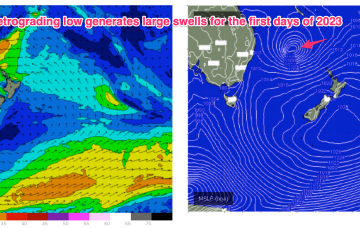
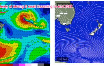
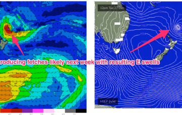
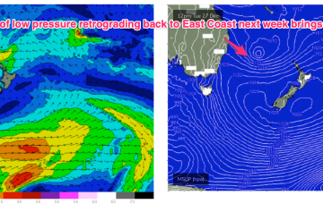
A dual-centred high straddles New Zealand with an elongated monsoonal low pressure trough located in the Coral Sea and extending into the near South Pacific. This is creating a long and broad E’ly fetch which is slowly extending southwards. As we near the end of the week, a more discrete surface low hives off the end of the monsoonal low pressure trough and retrogrades back into the Tasman Sea as it intensifies, generating large E’ly swells over the last days of 2022 and first days of 2023.
We’re now on the cusp of a dynamic, tropical induced blocking pattern with low pressure hiving off an active monsoon trough in the Coral Sea and meandering in Coral Sea before drifting down into the Northern Tasman. The high pressure belt holds good support for this low pressure area with reinforcing cells stacking onto a slow moving system located at South Island latitudes. This will see an extended E’ly swell event, initially favouring sub-tropical areas and then spreading south to temperate NSW later this week.
The broad pattern will be setting up by Boxing Day with a dominant, slow moving high in the Tasman and low pressure expected to form along the monsoon trough line in the Coral Sea and in the South Pacific near the North Island. That will see at least dual swell producing fetches aimed at the Eastern Seaboard.
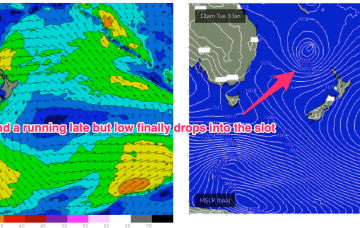
Models are now firming on a trough of low pressure forming near the North Island early next week and retrograding in a SW direction back towards the Eastern seaboard.
Pressure gradients will now slowly ease as the low starts to dissipate and the strong high weakens as it moves South of Tasmania through tomorrow. As this swell generating pattern breaks down we’ll be left with a weak, troughy pattern coming into the Xmas weekend with no major swell sources on hand, so you’ll need to get your grovel boards ready for Santa.
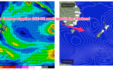
A reintensification of the Tasman Low on Saturday and Sunday - further east, near New Zealand - will generate a renewal of strong S/SE thru SE swell for Monday.
That's right, we're looking at a week of waves from a single swell source.
The next round of swell will be acute from the south, sourced from W/SW gales exiting eastern Bass Strait from this evening onwards, in associated with the same change that rocketed across the coast this afternoon.

