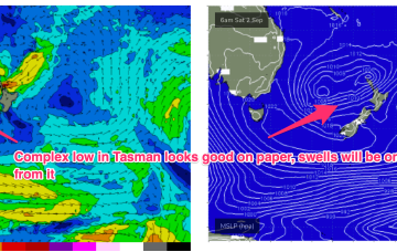
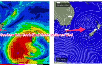
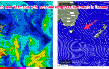
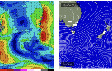
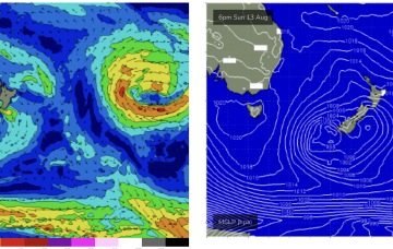
The following system expected over the weekend now looks a little stronger and under current modelling is expected to be a source of fun sizey S swell, potentially with several large pulses into next week.
Primary tabs
No great change to the weekend f/cast. S swells will be the dominant force in the water through tomorrow, mostly mid period stuff whipped up by a proximate fetch of S-SSW winds generated by a front and trough of low pressure forming in the Tasman.
There’s a troughy pattern in play at present, with a long trough snaking from inland QLD down to the Central/Southern NSW Coast. Return flow off the back of a retreating high is feeding N’ly winds into the trough line. We’re expecting a front to interact with the trough overnight Thurs to form a low pressure trough in the Tasman.
A trough will extend along the East coast before a front through the latter half of the week brings vigorous S’ly winds by Fri. The trough is expected to move offshore and merge with a more tropical derived depression to form a large trough of low pressure in the Tasman over the weekend. This has been a feature of synoptic prognostic charts for a few weeks now, with forecasts generally tending to weaken and fall apart as the event unfolds. Lets hope this one comes to fruition to deliver some chunky S-SE swell.
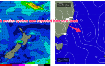
We’ve still got the basic building blocks in place that we mentioned on Wed with the proviso that everything looks a little weaker and disjointed. High pressure moves NE of Tasmania and the troughs remain inland, although we may see a weaker trough area move off the North Coast of NSW early in the week.
A cold front and long trough are bringing a S’ly change to the NSW coast, extending into the sub-tropics later today and overnight. There’s not a great deal of useful swell generating winds associated with the change so only modest short range S swells are expected to accompany it.
The remnants of the weekends frontal systems have set up a fading off axis fetch near New Zealand with the current run of small S swells also on the way out. A weak mid week front will bring a wind change and a small flush of S swell but next week looks a bit more robust although with plenty of winds.
Minor tweaks to the weekend f/cast with the front and associated low just looking a little more organised and not so disjointed. It’s not going to add much materially to wave heights, we’re still looking at pulsey S swell to 3-4ft through Sat with a mid/late morning peak offering up some bigger 3-5ft surf at S facing beaches.
Easing swells are expected for the rest of the week.
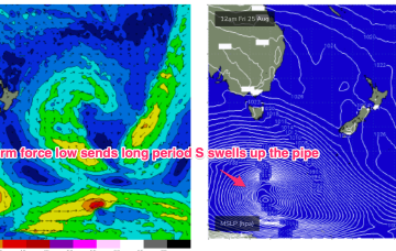
We’ve got a weak, troughy pattern unfolding now adjacent to the NSW Coast in the near Tasman Sea that will provide plenty of wind changes this week. A low pressure system near the South Island reached maximum strength last night and is now slowly easing, but still looking good on ASCAT (satellite windspeed) passes with S’ly strong winds to gales aimed up the Tasman pipe.


