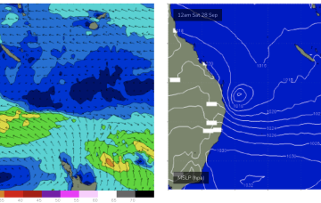
High pressure moves off the South Coast into the Tasman over the weekend with a low pressure system off the SEQLD coast directing a broad fetch of strong wind to near gale S/SE-SE winds through the Northern Tasman. This will produce large SE’ly swells for the sub-tropics with only Points rideable for most of the region.
Primary tabs
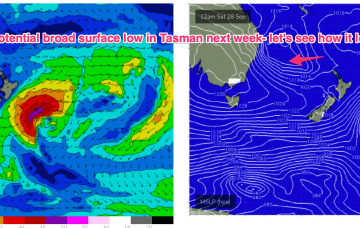
We’ve got a really dynamic outlook this week as a strong high drifts across from the Bight and a trough drawing in tropical moisture from the Indian Ocean moves across the country and eventually enters the Tasman Sea, with a long angled trough and possible surface low expected to form in the Tasman late this week.
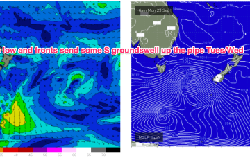
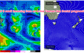
Doesn’t look we’ll see much swell of significance from these zonal fronts so expect small swells from the S over the weekend, only really favouring S swell magnets in NENSW.
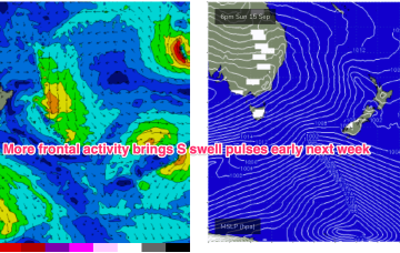
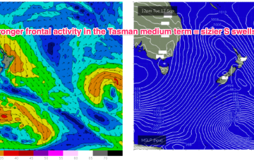
Frontal activity is going to generate some small S pulses in the short term with some fun waves on tap at S facing beaches. Next week we should see a stronger system move NE into the Tasman potentially generating some sizier S swell.
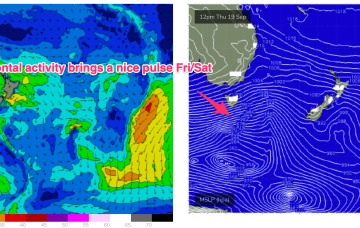
More frontal activity is expected later this week continuing the pattern of episodic S swells with generally favourable winds.
We have a follow-up front and trough expected to push into the Tasman later Sat, this time backed by a monster high (1042 hPa) in the Bight. Steep pressure gradients will create near gales to gales in a proximate S’ly fetch and whip up plenty of sizey S swell later Sun
A trough between them moves offshore tomorrow forming a fast moving trough of low pressure in the Tasman, which tracks rapidly NE. We’ll see a spike of S swell from this system, downgraded from Mon. A following front and trough now looks stronger, earning an upgrade.
Thursday looks like a dynamic day. A trough deepens and inflames a strong S’ly flow along the NSW coast, extending into the Tasman.
Models are still struggling to resolve this trough but there are reasonable grounds to suggest the trough may deepen and form a surface low in the Tasman late next week.
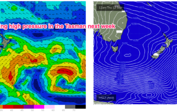
Once that high moves offshore we’ll see N’lies kick in for the rest of the week with only a weak trough expected to interrupt that pattern. No major swells on the radar through the short or medium term.

