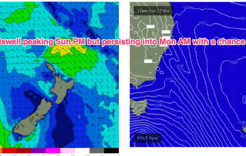
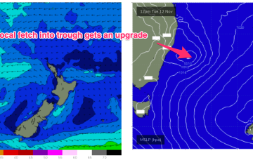
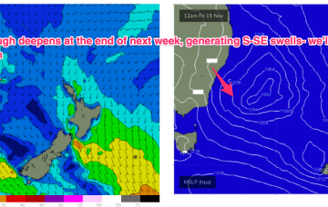
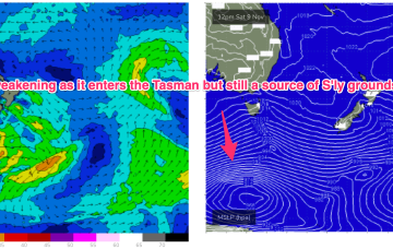
Troughiness next week does offer potential for low pressure development in the Tasman but we’ve got high model variability so confidence is very low in the outcomes.
Primary tabs
Another unstable, troughy week ahead with humid, unstable air over the continent creating a series of troughs, one of which forms a slow moving trough of low pressure off the Mid North Coast which interacts with a weak high pressure cell drifting in the Tasman. That will supply some workable E quadrant swell favouring temperate NSW.
No change to the weekend surf outlook which remains small and weak but winds will be all over the place as a trough of low pressure hovers about the NSW central/MNC coast.
S groundswell is still on the radar as a slow moving polar low tied to Fridays front skirts the southern edge of the swell window, over the weekend.
We’ll be relying on some small NE windswell episodes and great circle paths under the continent to deliver some flukey S groundswell short and medium term.
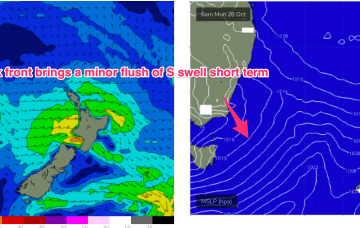
High pressure slides into the Tasman off the Central NSW coast while the remnants of a front scoot across the Tasman. The front will have generated a small flush of S swell.
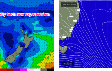
We’re still looking at a fairly bland synoptic pattern with a weak, troughy environment in the Tasman, undergirded by zonal frontal activity well to the south. Some modest frontal activity pushes through late in the week with a developing N’ly flow on Sun set to provide some NE windswell.
High pressure drifts into the Bight but weakens as the week progresses with a weak high cell budding off and moving NE into the Tasman. The result is a weak, troughy pattern in the Tasman and inland- unstable but not very surfy.
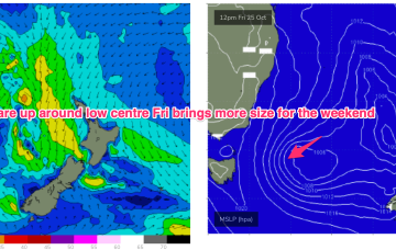
A complex but disjointed low has formed in the Tasman with diffuse centres off the North Coast and Tasmania/Gippsland coast. We’ll see various S swells generated by proximate and distal fetches from this system over the weekend and into next week.
Lingering troughiness in the Tasman may see yet another low form next week- which would be the 4th successive surface low to form in October. Models are struggling to resolve this complex and unstable pattern so low confidence results.

