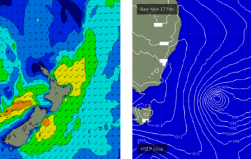
To clarify further, I’m not revising my size estimates as such, it’s just that the fetch around the low - which should be pushing 50kts as we speak - is aimed away from the NSW coast so we’re looking at sideband energy glancing the coast later today and into Tuesday.
Primary tabs
Looks like a great weekend of waves ahead. We’ve got stacks of swell for next week too.
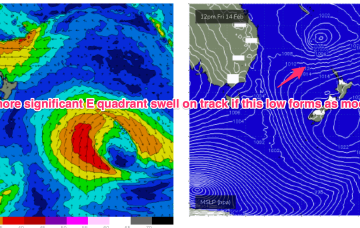
The low is slow moving as it slides to the SE of New Caledonia and looks to be reinforced by a second tropical low budding off the monsoon trough in North QLD waters. We’ll see continuing E’ly swells from this source, with a long lasting peak as the system intensifies as it drifts through the South Pacific slot over the weekend.
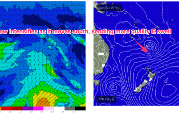
This low intensifies as it tracks slowly through the South Pacific slot between New Caledonia and the North Island, spraying the East coast with quality E swell.
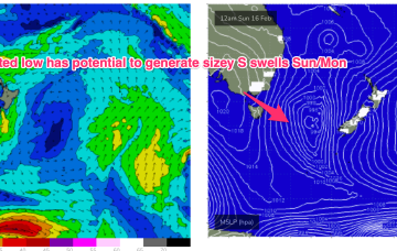
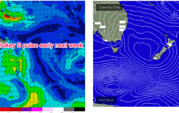
New high pressure moves SE of Tasmania to start next week and compared to Wed’s notes it’s looking stronger and slower moving, which is good news for surf potential, especially medium term as it anchors low pressure drifting down from the tropics into the wide open South Pacific slot.
No great change to the outlook as a tradewind fetch anchored by tropical low pressure near New Caledonia remains active before the low slides off to the SE later tomorrow and into Fri. We’ll see continuing tradeswells from this source.
High pressure support for the tropical systems which is currently anchoring a tradewind fetch in the Coral Sea weakens substantially over the short term, with E swell potential thus weakening. We’ll still see some fun E’ly trade swell in the sub-tropics, trickling down into temperate regions.
Weak high pressure moves into the Tasman with the remnants of a trough holding a modest fetch of SE breezes in the central Tasman.
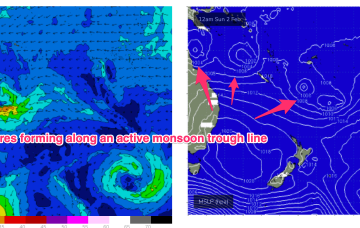
The tropics is in an active state with multiple low centres expected along the monsoon trough as it responds to a phase of the MJO passing into Australian longitudes. Still plenty of uncertainty there, with any meaningful swell a while away.
Longer term is starting to look more dynamic as the tropics finally starts to fire up. Multiple low pressure systems are suggested on long range model guidance, potentially tropical cyclones.


