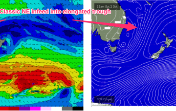
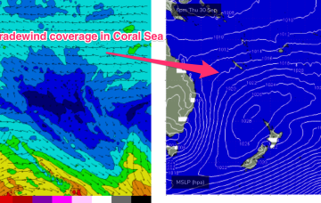
From tomorrow we see a large, southwards located high and multiple troughs located in the Tasman sea and inland become the dominant synoptic features for the week. This is going to set-up some tricky, short-lived fetches as well as another week of multiple wind changes.
Primary tabs
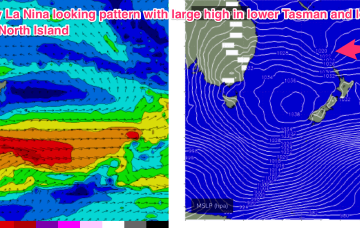
Very dynamic, unstable week ahead that has a very La Nina looking signature to it. Primarily the strong, southwards located high and a very troughy pattern in the Tasman sea, that has good swell potential for the region.
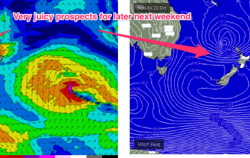
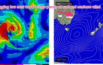
Next week looks even more La Nina influenced than this week, as a strong high moving at an unseasonably southwards latitude moves into the lower Tasman and directs a strong onshore flow from Wed onwards.
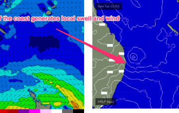
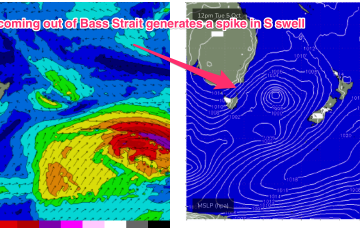
A front is bringing another vigorous S’ly change through on Mon and a trough, just in advance of the front is now moving northwards, with a small low pressure system expected to form off the North Coast, near the QLD border overnight or early tomorrow.
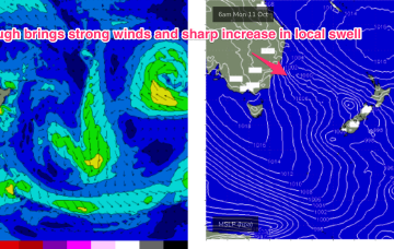
Highly dynamic week next week kicks off Mon with a NE/SW angled trough expected to form offshore from the top of the Hunter coast, or lower Mid North Coast. That will see strong S’ly quarter winds work their way North through Mon.
We’re now well into the very mobile Spring pattern identified in Mon’s notes. Weak high pressure is currently over NSW and in the process of migrating into the Tasman sea and a series of fronts tied to a complex area of low pressure SE and SW of Tasmania are lined up to sweep across the SE of the continent and into the Tasman sea.
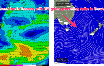
This week is looking much more like a classic spring pattern. The ingredients are weak, mobile high pressure at sub-tropical latitudes and a series of troughs and weaker fronts tied a complex area of low pressure in the Southern Tasman and near Southern Ocean.
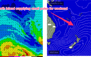
Nonetheless, there’s a nicely aimed fetch of ENE/NE strong winds located in the Northern Tasman sea into sub-tropical latitudes and a more distant tradewind fetch out near New Caledonia.
Weekend is still looking good, with NE/ENE swell being generated by the slow moving fetch feeding into the trough, extending out towards New Caledonia and a basically W’ly wind pattern.
The high generates a broad coverage of E’ly tradewinds in the Southern and Eastern Coral Sea and then a more focused fetch of ENE winds as it becomes concentrated into an offshore trough.

