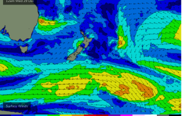
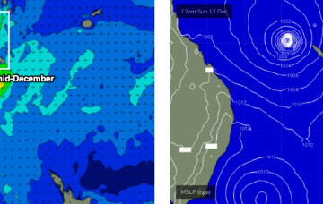
Models have invested in the start of the Northern Australian Monsoon (NAM) as the year ends, suggesting a tropical low tracking across the Northern Territory into the Gulf of Carpenteria and then across Cape York Peninsula into the Coral Sea towards the end of next week.
Primary tabs
Very weak pressure gradients everywhere as we continue to meander through this troughy, doldrums pattern. Plenty of action ahead next week.
Lots of wind changes and flukey swells ahead this week as a Spring looking pattern unfolds in the week leading up to Xmas.
Hmm, we’ve got an interesting troughy period next week.
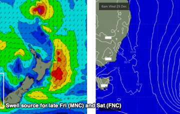
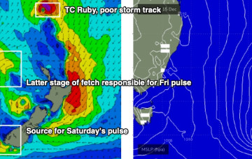
However, we have some new swell due south of the border on Friday. In fact the Lower Mid North Coast may see this late Thursday.
We have some small new swell on the way for the end of the week. Though, one coast will pick it up and the other will miss out.
In Wednesday’s forecast I discussed a potential NE cyclone swell.
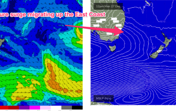
We have a nice round of east swell on the way, generated by a sub-topical low positioned well NE of New Zealand over the weekend. And a cyclone swell too!
Looks like a weekend of fresh southerly winds, and a summery mix of S/SE and E’ly swells.
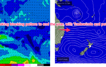
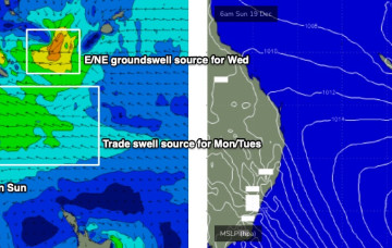
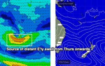
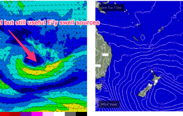
E’ly swell trains should bump up a notch during Wed and into Thurs as Tradewinds strengthen a notch around a weak trough/Easterly dip SW of New Caledonia early next week. Even though this is a downgrade from the retrograding low we saw on Wednesday’s model runs it should still supply some fun mid period E’ly swell in the 3ft range during this period.

