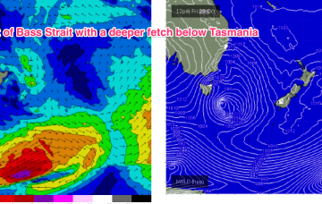
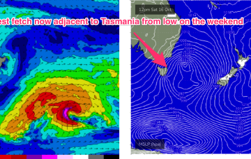
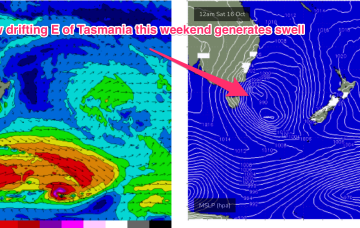
The weekend looks more reliable as the low moves away during Sat, with gales to severe gales on the western flank of the low generating another strong pulse of S swell for Sat. Expect surf in the 3-5ft range during Sat, with fresh W’ly quarter winds during the day.
Primary tabs
The current synoptic pattern is a low pressure system E of Tasmania directing a fetch of SSW to S strong winds to low end gales adjacent to the NSW South Coast and extending south-east of Tasmania. This low then eases as it moves out into the Tasman sea later today.
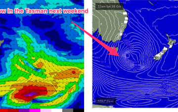
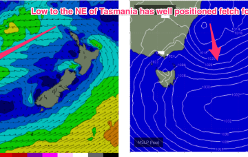
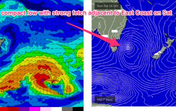
A dynamic weekend is ahead as a robust Tasman low forms near the Island overnight Sat.
Current ASCAT (satellite windspeed) passes show a broad fetch of E to ESE’ly winds feeding into the small low east of Tasmania, with another weak low centre off the NSW Mid North Coast also providing a weak E’ly fetch.
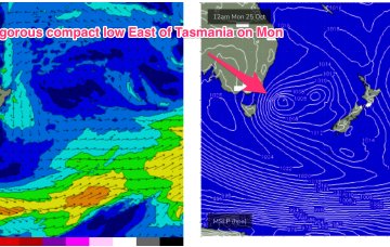
A trough in the Tasman off the NSW coast deepens into a small, surface low through Tuesday. Compared to model runs on Friday, this slow moving low is now positioned further south, in a more favourable position for swell generation for the East Coast of Tas.
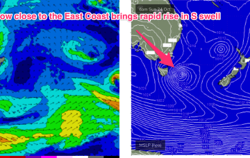
NE windswell is on the way out through tomorrow as the fetch gets shunted eastwards and away from the swell window but a complex cut-off low quickly replaces that swell with chunky short range S swell as it tracks just to the East of Tasmania and brings strong to gale force SSW to S winds.
Intensifying pressure gradients between a 1025 hPa high East of Tasmania and an approaching complex mid-latitude cut-off low is seeing N to NE winds begin to freshen across Bass Strait tonight.
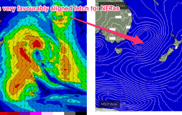
High pressure drifts across the Tasman from a position in Tasmanian latitudes this week. An approaching mid-latitude low in the Bight tightens the the pressure gradient along the western flank of the high in the Tasman, with an increase in N to NE winds off NSW coast through Wed. It’s Thursday and Friday that really muscle up with gales aimed directly at NETas.
A much more solid swell event then unfolds through the second half of next week , with a high pressure system drifting in the lower Tasman towards the South Island and a strong N’ly fetch developing off the back of the high, with pressure gradients being tightened by an approaching mid-latitude low in the Bight.
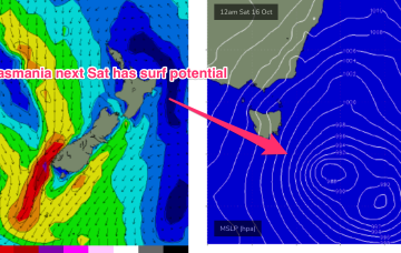
Things get more interesting next week, as instability in the Tasman sea leads to some surf potential for the East coast of Tas.

