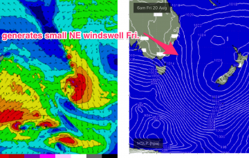
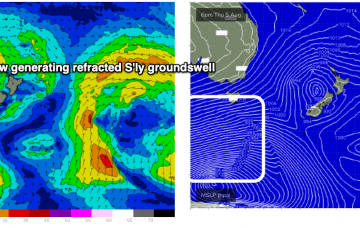
Friday looks a much better bet. With the low drifting SE towards New Zealand the south and south-west flank of the low aim a fetch of SE/ESE winds back at the North-east coastline of Tasmania.
Primary tabs
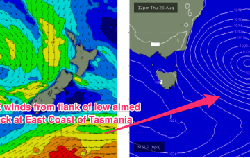
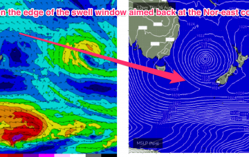
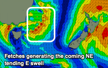
The low drifts away towards New Zealand through Wed/Thurs with SE winds on the lower flank of the cut-off low sufficiently low in latitude to be in the Nor-east Tas swell window
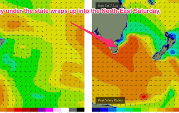
Not much on the menu with small, weak swells from the north-east.
Todays passage of a polar low with a favourably angled SSW fetch now slingshotting into Tasmanian latitudes is generating a solid S swell building into this evening.
Eastern Tasmania Surf Forecast by Steve Shearer (issued Fri 13 August)
Features of the Forecast (tl;dr)
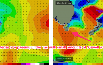
- Small S swell Sat as polar low passes under Tas Fri
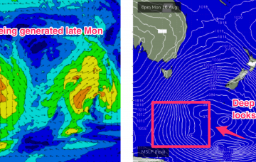
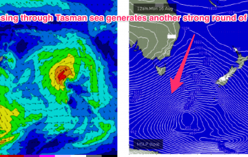
- Slow moving low provides S swell pulse late Mon, peaking Tues, leftovers Wed
Recap
Small amounts of NE windswell in the 1-2ft range provided some just rideable surf Thursday. Swell from this source has eased back but with a few tiny waves available at NE facing beaches.
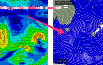
With severe gales extending from Tasmania down to 55S and a slightly more favourable SSW tilt in the winds which then push up adjacent to SE Tasmania during Tues..
As a cold front approaches Wed, NNW’ly winds freshen adjacent to the NSW coast and out into the Tasman sea. This is expected to generate a small 2ft NE windswell late Wed
Still on track for fun S’ly groundswell Saturday generated by an intense polar low with a mostly W’ly fetch and a better angled following front with a more favourable SW fetch
Still on track for fun S’ly groundswell Saturday generated by an intense polar low with a mostly W’ly fetch and a better angled following front with a more favourable SW fetch.
A bit to work around this period with a fun swell from the east ahead of south swells on the weekend.

