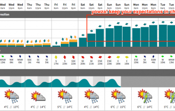
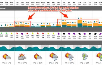
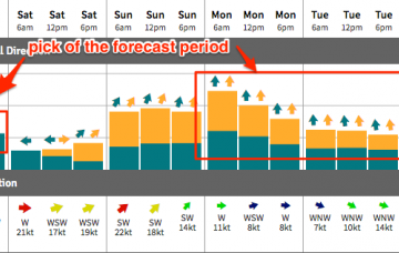
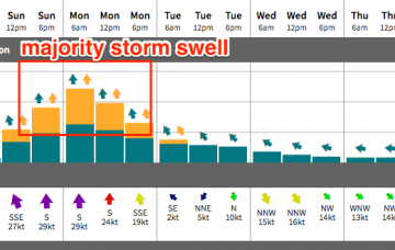
The Southern ocean storm track is finally swinging into our swell window, and we’re looking at a couple of days of large south swell though with accompanying gales from the W/SW the’ SW.
Primary tabs
No doubt you’ve already read the South Arm Forecaster Notes, but if you’ve come here for solace you’re in for a shock.
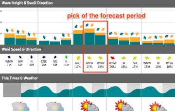
Friday still has a nice north-east swell on the way, and with a poor outlook beyond that you’ll want to make the most of it.
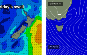
Thursday will see tiny conditions between swells, but the end of the week has some very nice waves on the cards, thanks to a developing trough off the Southern NSW coast that’s expected to form a broad NE fetch in our immediate swell window.
Persistent E/NE swells will hold into Friday before easing over the weekend as offshore winds strengthen.
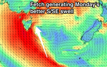
Monday will see a peak in short range southerly storm swell, with strong to gale force winds accompanying form the same direction.
Building S'ly windswell Sunday, easing Monday with average winds, cleaner and smaller Tuesday.
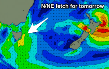
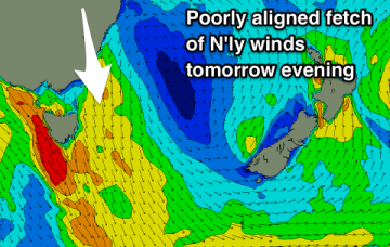
Building N/NE windswell tomorrow with a slightly stronger E'ly swell in the mix but with average winds, clean but small and fading Wednesday.
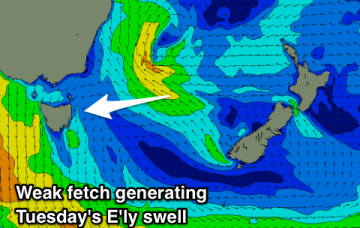
Nothing of note over the weekend, with a mix of N/NE windswell and new E'ly swell Tuesday as winds swing offshore through the day, clean and smaller to end the week.
Tiny weak N/NE windswell tomorrow, peaking early Friday morning before fading. More interesting developments next week.

