/reports/forecaster-notes/eastern-tasmania/2018/08/22/very-active-period-ahead
Craig
Wednesday, 22 August 2018
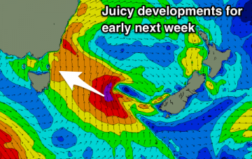
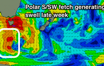
Good pulses of swell from all directions over the coming forecast period with generally favourable winds.
/reports/forecaster-notes/eastern-tasmania/2018/08/20/plenty-swell-out-east-week
Craig
Monday, 20 August 2018
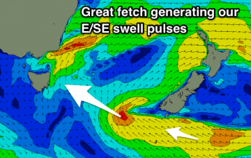
Plenty of fun surf days this week with a mix of SE and E/SE swell energy, followed by a NE swell next week.
/reports/forecaster-notes/eastern-tasmania/2018/08/17/great-sly-tending-se-swell-period
Craig
Friday, 17 August 2018
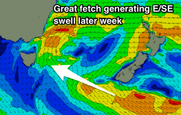
Fading S swell tomorrow with a windy rapid increase in new S'ly swell Sunday, clean and easing while swinging more SE next week.
/reports/forecaster-notes/eastern-tasmania/2018/08/15/much-more-active-and-exciting-period-ahead
Craig
Wednesday, 15 August 2018
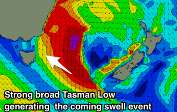
Plenty of activity on the way with a fun S'ly swell, the precursor to a better SE groundswell event.
/reports/forecaster-notes/eastern-tasmania/2018/08/13/shell-be-coming-round-corner
Craig
Monday, 13 August 2018
South swell starts to push around the corner from late week.
/reports/forecaster-notes/eastern-tasmania/2018/08/10/small-peaky-nne-swell-weekend
Craig
Friday, 10 August 2018
A slight downgrade in the expected size of the weekend's swell but fun and clean.
/reports/forecaster-notes/eastern-tasmania/2018/08/08/upgrade-northerly-windswell-event
Craig
Wednesday, 8 August 2018
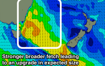
The flukey N/NE windswell event due through the coming period has been upgraded slightly and is now much better.
/reports/forecaster-notes/eastern-tasmania/2018/08/06/flukey-north-swell-period
Craig
Monday, 6 August 2018
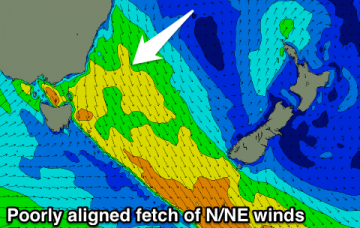
Nothing really on offer this period besides a small flukey north windswell.
/reports/forecaster-notes/eastern-tasmania/2018/08/03/make-most-north-east
Craig
Friday, 3 August 2018
Small fading north-east swell tomorrow, hardly anything thereafter.
/reports/forecaster-notes/eastern-tasmania/2018/08/01/fading-south-swell-building-north-swell
Craig
Wednesday, 1 August 2018
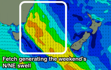
Possible small fading south swell tomorrow, biggest at dawn, followed by a building N/NE windswell event and later offshore change.

