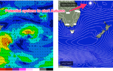
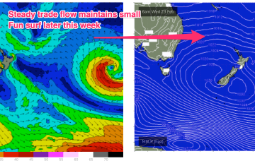
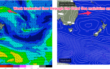
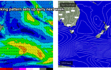
Trade flows and a deepening depression on Mon are likely to see surf pop back up again Tues into the 2ft range.
Primary tabs
Trade flows across the South Coral and Northern Tasman Sea won’t be particularly strong this week but the broad scale coverage of winds and an uptick in wind strengths in more proximate areas of the fetch Tues/Wed will be enough to see a modest building trend into Wed and beyond.
Under the influence of the high pressure belt it’ll be a week of SE to E/SE’ly winds and a small blend of E’ly tradewind swell trains.
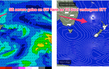
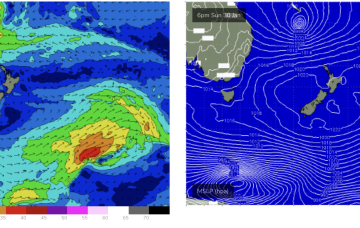
At 5am this morning TC Dovi was about 730 nautical miles E/NE of the Queensland border. Winds in the fetch are aimed away from the CQ coast, to targets further south, so the cyclone itself is not a swell source for the region.
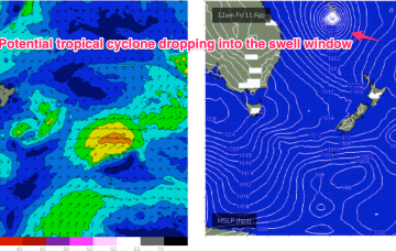
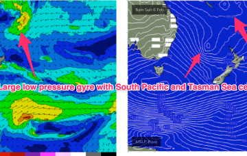
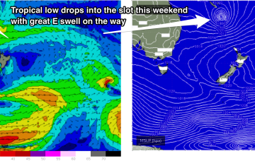
Another strong high pressure ridge is preparing to build along the CQ coast Fri with (another!) tropical low drifting south from the South Pacific later this week and over the weekend down the Tasman Sea pipe.
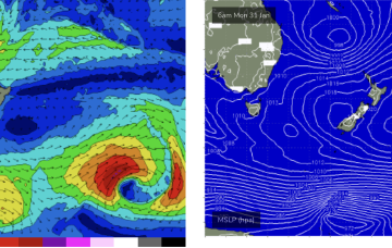
A monster high moving through the Bight is strengthening with the pressure gradient tightened along the entire ridge line by a low pressure trough with embedded low systems in it.
E’ly to ESE’ly Tradewinds build through the Coral Sea over the weekend with a a very broad coverage of 20knot+ winds expected.
That spells a bit of surf ahead. Firstly, from the high pressure ridge as it strengthens and generates a broad windfield of 20knot+ SE winds through the Coral Sea, adjacent to the CQ coastline.
The tradewind flow through the Central/Southern Coral Sea gets a boost later this week and into the weekend as a tropical low forms between Vanuatu and New Caledonia.
An active sea state has now developed as 20-30 knot SE winds blanket the Central Coral Sea and that will see surf in the 2ft range continue through Sat, with slightly bigger 2-3ft surf on offer at the more exposed breaks with open Capricorn Channel exposure.

