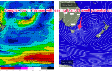
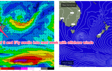
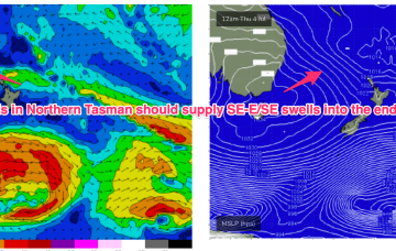
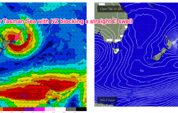
We have a deep low (985hPa) adjacent to Tasmania and another attached low centre further E in the Tasman with the long E/NE infeed into this complex low gyre focussed near the west coast of the North Island and slowly sliding out of the swell window.
Primary tabs
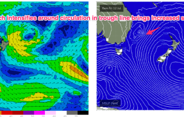
The circulation in the trough line has increased wind speeds in the fetch as the air mass moves from high to low pressure. As a result we’ll see an increase in wave heights and period through tomorrow.
This anchored trough fetch, or trough block pattern is favourable for swell production for almost the entire Eastern Seaboard and will come with mostly offshore winds until the weekend brings a more S’ly biased flow to temperate NSW. We’ll see remnants of a small low at the terminus of the trough get captured over the weekend and generate S swells from the return flow of a regenerated low.
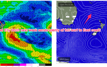
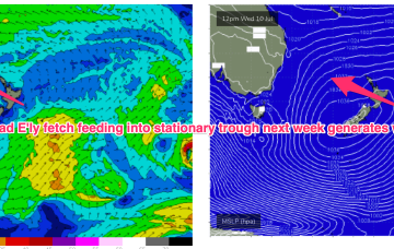
An inland trough eventually clears the coast later Tues or Wed and the broad E’ly infeed into the trough transforms a typical but out of season tradewind fetch into a more broadscale “trough block” feature which will send swell to most of the Eastern Seaboard.
The “trough block” pattern mentioned on Wed looks to set-up as the clearing trough Mon sets up a long N-S oriented line in the Tasman to Coral Seas and focusses a long E’ly fetch through this vast area. Windspeeds are the limiting factor but we should see a steady increase in E'ly swell from Thurs into next weekend.
A low in the Tasman is moving north with a slingshot fetch of S-SE winds expected to rebuild wave heights from the S-SE later today and into tomorrow while a trough of low pressure in the Coral Sea is sending more E’ly angled swell into the sub-tropical Points.
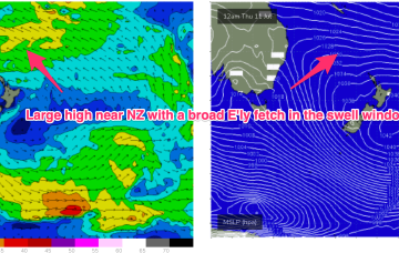
A trough in the Coral Sea accentuates an unstable SE flow in the sub-tropics and adds a local source of SE-E/SE swell into the mix north of Coffs. The high will be dominant right through into next week, as it slowly drifts into the Tasman, with some possibly juicy long range scenarios.
We’re looking at an unseasonable coastal trough developing off the SE Qld region, which is expected to generate solid, punchy short range E/SE swells for a few days.
Our benign outlook runs into the weekend and right through it so there’ll be a few days better suited for rockfishing/inshore diving ahead.
A sub-tropical low north of the North Island scooted away to the SE over the weekend and as a result the long range E/SE swell is likely to be closer to 2ft than 3ft.

