Tidy unseasonable swell on the boil for next week

South-east Queensland and Northern NSW by Ben Matson (issued Fri Jun 28th)
Features of the Forecast (tl;dr)
- Small tending tiny weekend with winds picking up from the north
- Average building S'ly swells Mon in Northern NSW (tiny in SE Qld)
- Better S'ly swells for Northern NSW on Tues (still not getting into SE Qld) but with tricky winds
- Solid, punchy E/SE swell sometime between Tues & Thurs with a few days of very good points
Recap
Fun small easterly swells over the last few days have maintain inconsistent 2ft sets in SE Qld, up to a slow 2-3ft in Northern NSW. Early light winds have maintained clean conditions ahead of of freshening breezes through the afternoons.
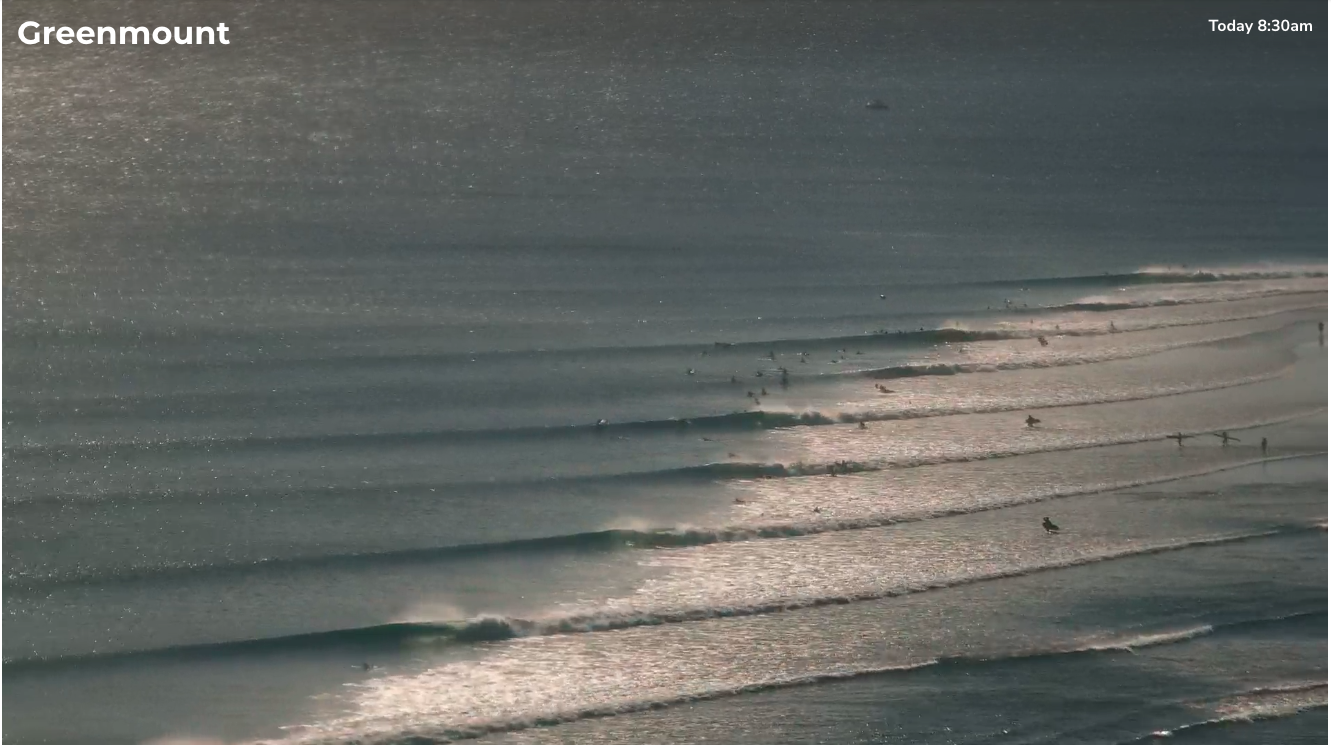
Don’t need a lot of size on the Superbank to have a lot of fun (early Friday morning)
This weekend (June 29-30)
A quick disclaimer - I haven’t been monitoring the charts for the last week or thereabouts, and my hindcast opportunity is limited today, so my understanding of the source of the existing small east swell is limited to Steve’s notes from Wednesday.
So, assuming there are no distant curveballs enroute for the weekend, we’re looking at a slow decline in surf size for the weekend, as there are no new swell sources expected to develop within any of our swell window for the next few days. Expect a fair grovel on a high volume board at exposed beaches.
You’ll also have to get in early too, as freshening northerlies are expected on Saturday - strongest across the Mid North Coast but also likely to become a slight issue north of Byron after lunch (early morning should have a decne window of clean conditions though). On Sunday the breeze will veer a little more N/NW, maybe even NW at times but without much size on offer it’ll be slim pickings all round.
Minor levels of N’ly windswell may show at exposed coasts (i.e. Gold/Tweed) late afternoon but it’s not worth getting excited about.
Next week (July 1 onwards)
The weekend’s N’ly tending NW breeze will precede a fresh southerly change due overnight Sunday into the Mid North Coast, reaching the border mid-afternoon on Monday.
A few exposed coasts (i.e. Gold/Tweed) may pick up minor N’ly windswells early Monday but it’ll fade rapidly, to be replaced by building short range southerly swells in the wake of the change.
SE Qld won’t see much size (into Tuesday) from this initial swell but Northern NSW’s south swell magnets will pick up bumpy, low quality 2-3ft+ waves on Monday at south facing beaches (smaller elsewhere).
Tuesday will see the short range swell ease, but overtaken by longer period energy sourced from the core fetch around a brief Tasman Low developing SE of Tasmania over the weekend, as it traverses (unfavourably) to the east.
South facing beaches in Northern NSW may pick up 3ft sets (smaller elsewhere) but SE Qld will struggle to show much size from this fetch.
However, at the same time we’re looking at an unseasonable coastal trough developing off the SE Qld region, which is expected to generate solid, punchy short range E/SE swells for a few days. The timing on this is not yet clear - the models are divergent by a day or so - but we could be looking at a rapid upward trend as early as some time on Tuesday, holding through Wednesday and maybe Thursday (it’ll more likely be a two days event, but we need to allow for some elasticity on this right now).
Of course, these kinds of coastal troughs usually have a lot of funky wind and weather, so it’s likely to be points-only, with most open beaches likely to be plagued with onshores of some description. Let’s ballpark size at exposed spots in the 6ft range (give or take) and assess on Monday once the models converge a little more.
In addition to this, we have a few interesting south swells expected for the rest of the week but they’ll probably fly under the radar if this coastal trough evolves as is currently tipped.
Have a great weekend, see you Monday!
Comments
Anyon know what pressure the high in the bight would need to reach in order to break the "record" being bandied about?
Super long range looking tasty once the monster establishes itself in the Tasman.
Quite a significant system, as explained here..
https://www.swellnet.com/reports/forecaster-notes/victoria/2024/07/01/im...
Cheers Craig, does 1045 give it a medal? or just one of the great high pressure systems (a la NRL commentary)
Code Red Tahiti mid to late next week also?
Yep could be, yin and yang.
Shame forecast winds have got progressively worse since yesterday....maybe they change in time. Energy is off the scale!
Tidy? Northerlies?