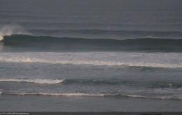
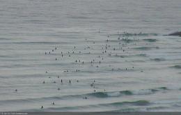
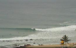
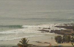
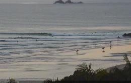
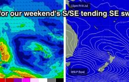
Today saw very strong lines of S’ly swell in Southern NSW, and because of the origin, direction and trend, we can be reasonably confident that this swell will push across Northern NSW too.
Primary tabs
This means we won’t see the resulting new southerly swell push up the Northern NSW coast until sometime Sunday - probably early to mid morning on the Mid North Coast, then early to mid afternoon across the Far North Coast.
A weak trough pushing off the NSW coast this evening now looks like it’ll display a minor E’ly thru’ SE fetch off its southern flank into tomorrow. This should generate a brief SE swell for Thursday though I can’t see anywhere north of about Coffs receiving much influence from it.
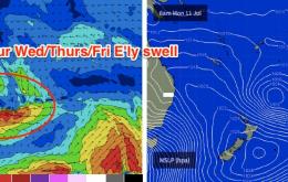
The synoptic charts make for pretty grim reading.
The final southerly pulse in this recent series is pushing up the Southern NSW coast today and will peak overnight or early Saturday across Northern NSW.
The low to the N/NE of New Zealand is still active out in our far east swell window though is finishing up swell production for us as it rotates clockwise out of our swell window.
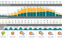
We’ve got plenty of surf due throughout the forecast period. However, Tuesday will see a low point between swells as the current E/SE energy continues to fade.
We’ve got some great surf expected right across this weekend, with Sunday shaping up to be the pick of the weekend.
The weekend still looks really good for surf prospects.
It looks like you should be racking up lots of brownie points this week, as you’ll probably find a need to exercise all options to surf both days this weekend.

