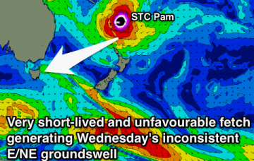
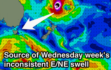
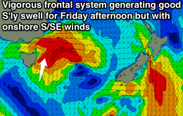
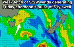
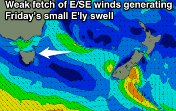
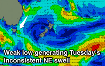
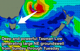
Small S'ly swell pulses Friday and Sunday but with poor winds. Better NE windswell Wednesday with a smaller inconsistent E/NE groundswell but with onshore winds again.
Primary tabs
Bascially flat for the most part, with an inconsistent long-range E/NE groundswell on the cards for next Wednesday.
Easing but clean S/SE swell tomorrow, fading from the SE Sunday.
Late increase in S'ly swell tomorrow with favourable winds. Bigger increase later Friday but with onshore winds. Fading Saturday and clean.
Tiny until a flukey S'ly swell arrives through Friday with improving winds.
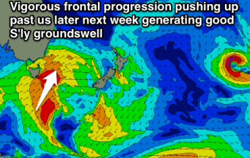
Tiny weekend with a clean easing NE windswell Tuesday. Better S'ly groundswell later next week.
Eastern Tasmania Forecast by Craig Brokensha (issued Wednesday 25th February)
Best Days: Friday morning for small waves, possibly Saturday morning for a small distant E'ly groundswell (very low confidence), Tuesday morning
Recap
Good but inconsistent levels of NE swell yesterday with favourable winds for southern corners yesterday, with smaller clean waves in the 2ft range this morning.
Inconsistent NE swell Tuesday with good winds for southern corners, smaller Wednesday and tiny into the end of the week.
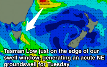
Inconsistent NE trade-swell tomorrow with a building windswell Sunday, easing Monday as a change pushes through. NE groundswell for Tuesday.
Small mix of NE swells Friday, better Saturday and larger from Sunday.

