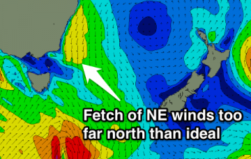
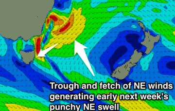
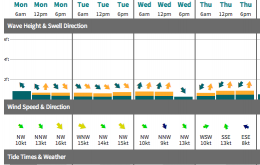
Flat all weekend with a small NE swell for Monday afternoon and Tuesday morning.
Primary tabs
/reports/forecaster-notes/eastern-tasmania/2014/10/10/small-ne-swell-monday-afternoontuesday-morning
Craig
Friday, 10 October 2014
/reports/forecaster-notes/eastern-tasmania/2014/10/08/flat-until-some-better-ne-swell-fills-next-week
Craig
Wednesday, 8 October 2014
Effectively flat until some better NE swell develops for early next week.
/reports/forecaster-notes/eastern-tasmania/2014/10/06/tuesday-morning-only-chance-wave
Craig
Monday, 6 October 2014
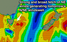
Fading NE windswell tomorrow, flat from then into the weekend.
/reports/forecaster-notes/eastern-tasmania/2014/10/03/great-saturday-small-peaky-ne-windswell-tuesday
Craig
Friday, 3 October 2014
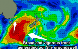
Easing but strong S'ly groundswell with offshores Saturday. Clean easing NE windswell Tuesday.
/reports/forecaster-notes/eastern-tasmania/2014/10/01/large-sly-swell-friday-fading-saturday
Craig
Wednesday, 1 October 2014
Good options Friday the further north up the coast you go, clean and easing Saturday everywhere.
/reports/forecaster-notes/eastern-tasmania/2014/09/29/flat-until-large-powerful-swell-hits-friday
Craig
Monday, 29 September 2014
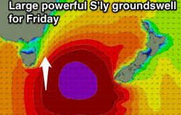
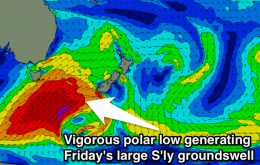
Flat until a large and solid S'ly groundswell Friday, easing all weekend under ideal winds.
/reports/forecaster-notes/eastern-tasmania/2014/09/26/late-pulse-nne-windswell-sunday-fading-monday
Craig
Friday, 26 September 2014
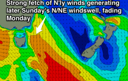
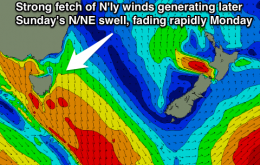
Junky and weak N/NE windswell developing later Sunday, fading Monday under offshores.
/reports/forecaster-notes/eastern-tasmania/2014/09/24/junky-windswell-developing-late-sunday-fading
Craig
Wednesday, 24 September 2014
Poor outlook with any increase in swell coming along with poor winds.
/reports/forecaster-notes/eastern-tasmania/2014/09/22/tiny-flat-most-part
Craig
Monday, 22 September 2014
No surfing options along the East Coast this week.
/reports/forecaster-notes/eastern-tasmania/2014/09/19/great-sunday-good-se-groundswell
Craig
Friday, 19 September 2014
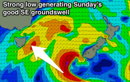
Small S'ly swell tomorrow, much better SE groundswell filling in Sunday with offshores.

