A good mix of swells from the north-east and south with favourable winds.
Primary tabs
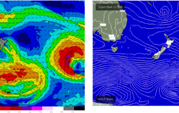
Longer period surf from the E/NE, generated by the long-lived E’ly fetch in the South Pacific, makes landfall on Mon.
A strong low which passed through the Tasman is also sending a quantum of longer period S to S/SE swell which will see surf heights build from the S to SSE over the next 24-36 hrs.
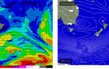
A large cradling fetch of E to SE winds south of the cyclone is better aimed at sub-tropical areas but should still produce some swell for the East Coast of Tasmania early next week.
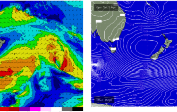
A deep Tasman low is expected to reach peak strength through this a’noon, with a general southwards movement favouring ETas, as it places the fetch wrapping into the SE quadrant within the swell window.
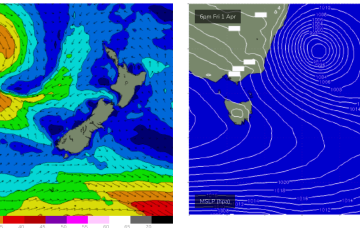
Severe gale force winds are proximate to the NSW Coast and are well placed to generate plenty of S swell for Tasmania before a better angled ESE to E swell hits on the weekend.
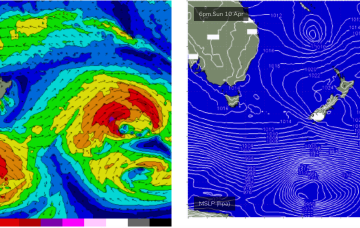
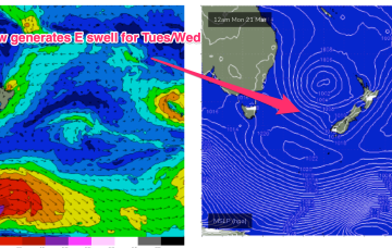
The weekend looks juicy. Whilst the Tasman low is not ideally aimed at Tasmania, E to SE winds feeding into the low are expected to generate a strong E’ly swell for the NE Coast.
A much stronger cold front sweeps through Thurs, with size quickly ramping up from the S into the 3ft range.
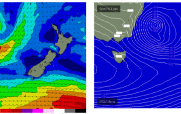
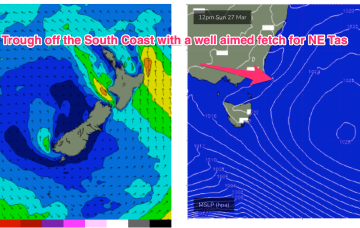
The trough is connected to a parent low and cold fronts pushing through the lower Tasman, expected to generate some small pulses of long period S swell for NE Tas over the coming days.
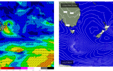
E’ly winds on the southern flank of the low don’t look as impressive now as they did Friday but we’re still expecting to see a useful E’ly swell build later Tuesday.


