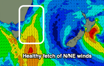
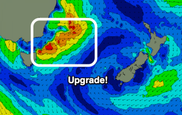
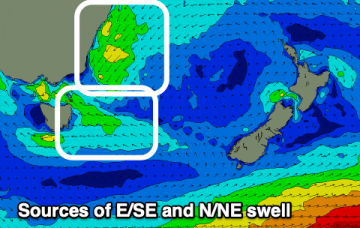
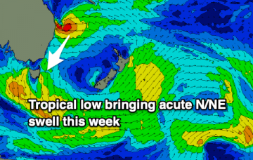
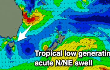
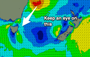
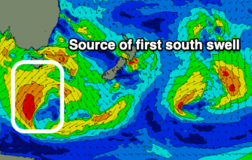
A slow, flukey E/NE cyclone swell followed by a much more reliable and consistent N/NE swell.
Primary tabs
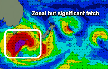
A significant upgrade on the swell forecast for the coming days as a surface trough deepens into a low north-east of us.
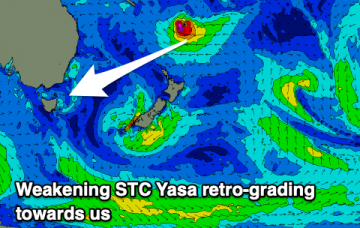
Our current swell will fade tomorrow with some poor windswell for Sunday/Monday ahead of some inconsistent, but better E/NE groundswell from Severe Tropical Cyclone Yasa.
There's a fun mix of swells for the coming couple of days before we look to the Coral Sea and Severe Tropical Cyclone Yasa.
It's not often we receive swells from tropical activity but we've got a couple of decent sources on the cards for the coming week or two.
Small southerly swells followed by better north-northeast energy with winds swinging from north to south.
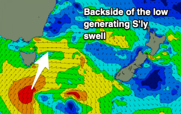
Pulsey south swells for the coming days with less than ideal winds, with a good N/NE swell possible for next week.
Small pulses of southerly swell this period with hints of activity from the north-east into next week and beyond.
There's fun pulses of southerly swell on the way this period with generally favourable winds to work around.
A handful of good southerly swell pulses are on the way this period, with the most action likely into next week.

