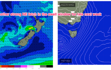
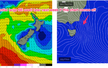
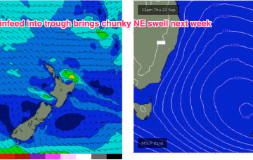
Models now show this NE flow developing into another powerful fetch as a mid-latitude low and trough system approach from the West later next week.
Primary tabs
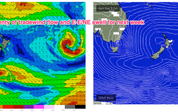
Those pulses will be concurrent in a more dominant building NE windswell episode, through the rest of the week and into the weekend. Lots of action next week as both our Eastern and near Southern swell windows fire up.
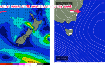
A much stronger high is moving into the classic La Niña slot- SE of Tasmania- where it will start to be squeezed by another approaching inland trough and complex low pressure system. That will see increasing NE winds come into play from mid-week with increasing levels of NE windswell.
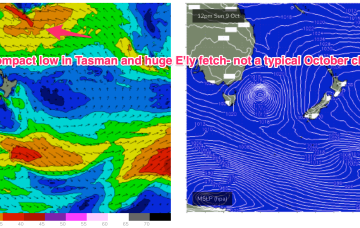
No great change to the weekend f/cast. Wind and swell regimens will be dominated by the low in the Tasman, which is now retreating towards the North Island with a large (1037hPa) high south of Tasmania. Pressure gradients do slowly ease over the weekend as the high relaxes over warm Tasman sea waters and the low sets up near the North Island.
There’s still some model divergence to deal with but some model runs show gales developing in close proximity to the NE Tas coast. Under this scenario we will be looking at a serious NE swell event, for late next week.
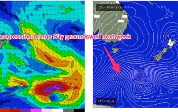
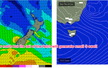
S’ly winds freshen through Thurs, tending SSE through the day as the low winds up and a large high moves towards Tasmania. Tasmania is right at the tail of the fetch (see below) but this should still be sufficient to whip up 2-3ft of S swell through the day.
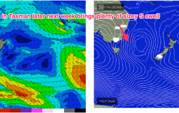
Models are now starting to firm on quite a significant swell producing system as the low moves offshore and a strong high moving well south of the Bight offers a supporting pressure gradient squeeze on the Western flank of the low.
The pressure gradient is tightened as the low approaches with an increase in NE winds and swell expected through the end of the week. A small low exits the coast north of Coffs Harbour, which delays the offshore flow and maintains a N’ly wind across the region until a front brings an offshore change Fri. The return S’ly flow as another small low and front develop near Tasmania late Fri/Early Sat is expected to kick in over the weekend.
We have a typical looking Spring pattern with a weak high over the NSW interior and some flabby fronts passing South of Tasmania. An approaching trough series and inland low adds action mid-week as it tightens the pressure gradient with a more southerly located high, developing a N’ly fetch off the NSW Coast and another round of chunky NE windswell making landfall from mid week.
Still, no major change to the weekend f/cast. A complex low linked to multiple troughs and cold fronts is now approaching from SW of Tasmania. A main coastal trough linked to an Indian Ocean NW cloud band is clearing the area with a mostly NW flow across the weekend and a slowly easing NE swell on tap.

