The only thing that’s going to stop this cacophony is the ECL shifting southward. But even at less than a day out, the outlook is still very complex - it’s hard to be exactly sure what will pan out tomorrow.
Primary tabs
So, as this trough/low slides southwards, conditions will rapidly improve. First on the Sunshine Coast (early Saturday), then the Gold Coast, and so on as we traverse along the Northern NSW Coast.
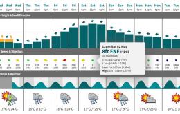
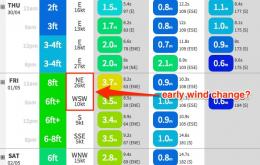
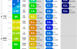
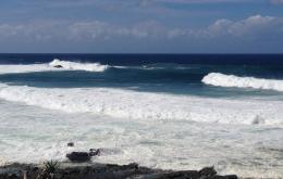
At this stage, Friday looks like starting off very wet, wild and wooly in most regions with gale force E/NE winds and a large storm swell in the 6-8ft range. However, there is every chance that we could see a rapid about-face throughout the day - particularly in SE Qld and Far Northern NSW - with winds veering southerly then south-westerly. If this happens there could be some excellent and sizeable (although roguey) waves about the coast.
Looking like a good weekend of waves right across most coasts.
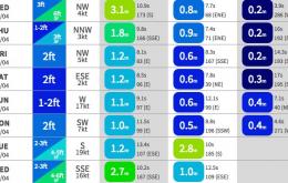
Of more importance is the first pulse in a series of long range E’ly swells due to occupy the region for the next four or five days.
Oh jeez, this is a tricky forecast.
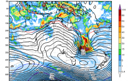
As discussed for all of last week, we’ve got a proper East Coast Low developing off the NSW coast early next week, in the wake of a gusty southerly change pushing across southern NSW.
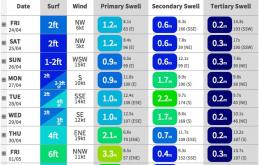
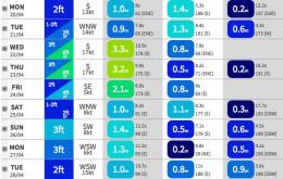
The surf outlook for the next few days is relatively simple - basically a slow easing trend from the S/SE, with winds around to the northern quadrant south of the border.
The south swell currently building across Southern NSW is expected to reach a peak across most northern regions on Tuesday morning, possibly even through the middle of the day in SE Qld.
Easing south swell is the general expectation for the weekend.


