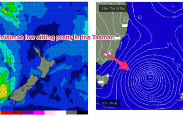
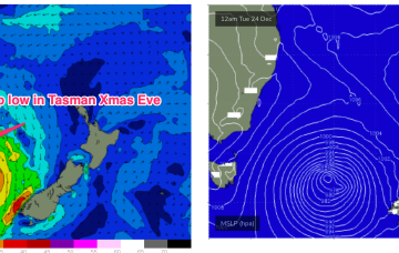
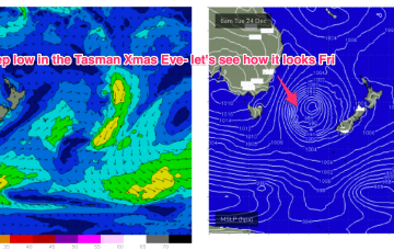
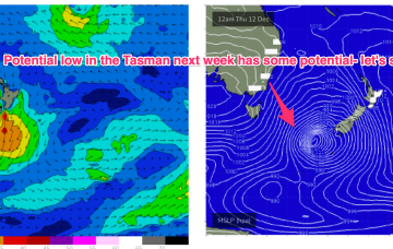
A cold front currently pushing into the Tasman spawns a low pressure system, expected to rapidly deepen later today and o/night before moving slowly in the south-central Tasman.
Primary tabs
Current ASCAT (satellite windspeed) pass shows a Tasman low with a long fetch of strong S-S/SE winds well positioned in the swell window. Concurrently, weak high pressure is moving NE to be off the sub-tropical coast o/night and into tomorrow morning.
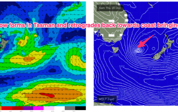
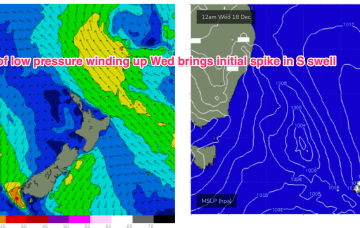
This trough of low pressure deepens into a surface low in the Tasman and is expected to track in a northerly direction through the short term. The initial spike in short range S swell will be reinforced by better quality S/SE swells late this week into the weekend.
We’ll see some swell from this pattern, first from the initial short range S swell and then some better quality S/SE swell as the surface low retrogrades from near the South Island back into the Tasman.
Next week now looking more exciting as low forms in Tasman with some boosting from the South Pacific
Latest model runs have amplified this trough and a resulting trough of low pressure in the Tasman. There’s still some model divergence to get through so expect some revisions but odds are firming off a sizey S tending S/SE swell event from Wed, as the trough deepens in the Central Tasman.
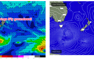
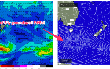
A deep low (962hPa) is currently well to the SW of Tasmania and tracking into the lower Tasman, although being shunted to the SE as it does so. We’ll see some flukey S’ly groundswell from this source. The weak, troughy pattern and mobile high pressure systems extends into next week under current modelling. There are a couple of funky swell sources on the radar during this time frame.
A very weak troughy pattern is unfolding this week with a weak high pressure (1016hPa) cell moving into the Tasman today as a trough stalls about the Far North Coast. Another trough tomorrow brings a shallow S’ly change which again looks to stall out on the North Coast before another weak high cell moves into the Tasman late this week. In short, no major swells expected.
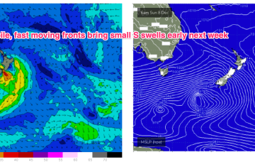
We’re still looking at a peak in S swell Mon but the frontal passage responsible for it now looks more mobile and poorly aligned so wave heights get a haircut.
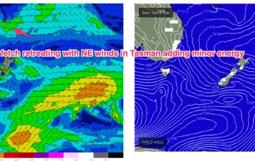
Some decaying and fast moving frontal activity in the lower Tasman is currently scooting across that sea. Once the new high sets up shop in the Tasman we’ll see the N-NE flow which has been a constant for a month reset until another S’ly change arrives on the weekend. No major swells ahead as the pattern of weak, mobile high pressure continues but there’ll be some windows of opportunity with small NE windswell and minor flushes of S swell.
Stability and sunshine will be short-lived for temperate NSW, non-existent for the sub-tropics as another complex trough system moves towards the Eastern Seaboard. That will bring a shallow, troughy change mid-week before weak high pressure moves into the Tasman. No major swells this week, so we’ll be relying on a small trade-swell, which looks to ease off mid-week.

