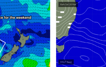
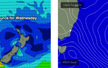
A coastal trough will linger about the region on Saturday, just north of Sydney, before moving south into Sunday, possibly forming a small low off the South Coast.
Primary tabs
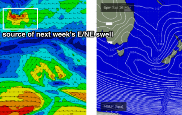
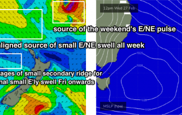
There isn’t a great deal of excitement expected for the next few days. However, a tropical system is expected to begin slowly deepening south from Tonga on Friday, and will generate a long lived E/NE swell event next week.
There’s a lot of interesting features on the long term charts, some of which are quite plausible, and some of which are much less certain and require a variety of circumstances to eventuate. More in the Forecaster Notes.
No change to the weekend outlook - it still looks pretty tricky.
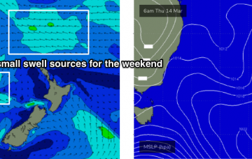
The weekend looks a little tricky. And, the wave models are not properly picking up any of the swells I am expecting, so this reduces confidence in the outlook.
Despite the expected longer period E/NE groundswell from TC Pola not yet showing, I still think we’re going to see some new energy later today and into Tuesday morning. More in the Forecaster Notes.
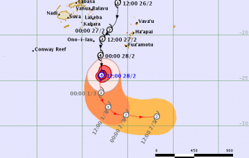
Severe Tropical Cyclone Pola - currently Category 4, south of Fiji - will curve to the south-east over the coming days.
Tropical Cyclone Pola is currently E/SE of Fiji, and tracking southwards.
All swell sources will ease through Tuesday.
So, the current NE swell from TC Oma will probably be short lived.

