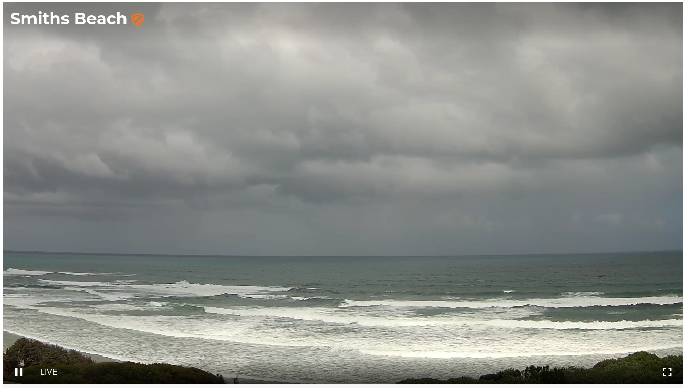
Average period ahead, but the weekend looks alright
Victorian Forecast by Ben Matson (issued Monday November 18th)
Features of the Forecast (tl;dr)
- Average waves for the next few days
- Friday the pick of the forecast period with winds swinging from the NE to the N, favouring the open beachies
- Fun weekend waves at open beaches with easing swells and generally variable winds
- No major swells on tap for next week at this stage
Recap
Strong though easing surf on Saturday was accompanied by freshening NE winds, offering great waves across the open beaches (3-5ft east of Melbourne, 2-3ft west). Size eased through the day and was tiny by Sunday morning, barely 1-1.5ft east of Melbourne. A small windswell built into the afternoon behind a change and we’ve seen a mix of windswell and groundswell dominate today. As expected, the quality of surf hasn’t been fantastic in Torquay, owing to a westerly swell direction and early cross-shore tending onshore winds. Surf size peaked around 4ft this morning but is now easing. East of Melbourne has seen very large wind affected surf at the open beaches (8ft+ sets) with smaller waves inside sheltered regions.

Large surf at Phillip Island today - long time since the whitewater line's been that far out (and on high tide too!)
Next week (Nov 19 - 22)
A reinforcing S/SW swell from a polar low (trailing the system that generated today’s waves) will build across the coast into Tuesday, but I’m not expecting any major size.
As it is, lingering onshore winds will remain a risk for most of the day. They’ll be moderate to fresh at first east of Melbourne, lighter to the west, and I’m not particularly confident for an early window of lighter W’ly winds at dawn here. Even if they eventuate we probably won’t see a massive improvement on the surface from the overnight onshore flow.
Therefore, keep Tuesday’s expectations in check; the best you can hope for will be lumpy 3ft+ waves along the Surf Coast with small peelers along the regional points. East of Melbourne will have few locations enjoying this combo of easing surf and SW wind.
Light to moderate southerly winds will likely persist into Wednesday as the surf eases a little more, so another day of average waves awaits.
Thursday is where things get a little more interesting.
A new long range SW groundswell from a deep polar low currently below West Oz will build during the day - though it probably won’t be in the water at first light. By late afternoon, the Surf Coast should push somewhere into the 3-4ft range, maybe 3-5ft at the regional swell magnets though it’ll be terribly inconsistent.
Worse, a building high pressure system over Tasmania will freshen easterly winds across the region. Not only will they create poor conditions for the reefs, we’ll see a concurrent increase in short range SE swell from the fetch which will have encompassed much of Bass Strait.
These winds will be ideal for the open beaches east of Melbourne, however surf size will be quite solid on the sets, pushing 5-6ft+ at times. So it could be tricky finding somewhere handling this combo of size and wind.
Therefore, Friday looks like a better bet with gradually easing size and NE tending N’ly winds as a low pressure trough approaches from the west. There’ll still be plenty of waves west of Melbourne in the 3-4ft range (a mix of easing SW groundswell and SE windswell) and the open beaches should provide some nice options. Expect 4-6ft easing surf east of Melbourne.
This weekend (Nov 23 - 34)
Easing surf is expected all weekend with generally light variable winds both days under a broadscale troughy pattern.
This should produce fun beachbreaks west of Mebourne Saturday (2-3ft), easing to 2ft Sunday, but your best bet will be east of Melbourne where wave heights should be a foot or two bigger.
Let’s fine tune specifics in Wednesday’s update as the wind outlook is a little uncertain for now, and will probably change between now and then.
Next week (Nov 25 onwards)
A small sideband swell from a polar low is due next Monday but no major size is expected as the low is not expected to line up particularly well within our swell window. It should however keep most coasts active with fun waves (local winds pending).
Otherwise, we’ve got a bit of a blocking pattern setting up camp and therefore the rest of next week looks slightly inactive through the Victorian swell window. This doesn’t necessarily mean there won’t be good waves to find, however it does suggest you’ll need to look further afield than Torquay, as the Surf Coast will probably be very small most days.
More on this in Wednesday’s update.


Comments
Jeez, last night was a decent low tide.
Back on the old tide guides circa 2003-4, we used to get negative low tides?
edit: my watch has one coming up today! -0.01