/reports/forecaster-notes/sydney-hunter-illawarra/2019/09/16/shame-about-winds-theres-plenty-swell
thermalben
Monday, 16 September 2019
We’ve got an enormously diverse range of swell sources for the coming week and a half. More in the Forecaster Notes.
/reports/forecaster-notes/sydney-hunter-illawarra/2019/09/13/plenty-great-waves-ahead-just-gotta-pick
thermalben
Friday, 13 September 2019
Next week just got a whole lot more complex. More in the Forecaster Notes.
/reports/forecaster-notes/sydney-hunter-illawarra/2019/09/11/fine-stack-long-period-swells-next-week
thermalben
Wednesday, 11 September 2019
There’s been a downgrade for the weekend. And to be honest, I reckon it’s a good thing. Next week looks really spicy too. More in the Forecaster Notes.
/reports/forecaster-notes/sydney-hunter-illawarra/2019/09/09/no-shortage-surf-coming-week
thermalben
Monday, 9 September 2019
There’s stacks of swell in store for this week, and the weekend. More in the Forecaster Notes.
/reports/forecaster-notes/sydney-hunter-illawarra/2019/09/06/large-south-quite-few-days
thermalben
Friday, 6 September 2019
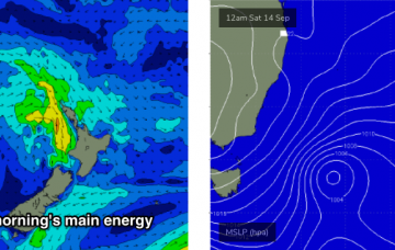
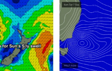
A deepening low pressure system east of Bass Strait tonight has slowed a little since Wednesday’s model runs, and we’re now looking at the strongest fetch developing late Saturday afternoon, which means a building trend for Sunday.
/reports/forecaster-notes/sydney-hunter-illawarra/2019/09/04/wide-range-surf-conditions-ahead
thermalben
Wednesday, 4 September 2019
Thursday is looking pretty good, though you’ll have to make it early, as we’re expecting surf size to ease throughout the day. More in the Forecaster Notes.
/reports/forecaster-notes/sydney-hunter-illawarra/2019/09/02/fun-ely-swell-week-dynamic-weekend-ahead
thermalben
Monday, 2 September 2019
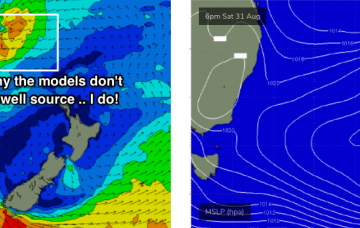
Once again, the models don’t like the look of this week’s surf prospects. More in the Forecaster Notes.
/reports/forecaster-notes/sydney-hunter-illawarra/2019/08/30/plenty-fun-waves-out-eastern-quadrant
thermalben
Friday, 30 August 2019
It’s just hard to be confident in how quickly conditions will improve as the wind eases, because there’s no way of knowing whether we’ll see a gradual abating trend in the airstream, or an abrupt cessation. More in the Forecaster Notes.
/reports/forecaster-notes/sydney-hunter-illawarra/2019/08/28/flag-next-few-days-weve-got-great-waves
thermalben
Wednesday, 28 August 2019
I really like the look of the weekend. More in the Forecaster Notes.
/reports/forecaster-notes/sydney-hunter-illawarra/2019/08/26/average-week-surf-department-weekends
thermalben
Monday, 26 August 2019
We’ve got a very complex week of waves ahead. More in the Forecaster Notes.

