A summer style pattern is seeing tropical moisture dragged down the East coast by a trough and deep E/NE-NE flow from a large high in the Tasman, generating large stormy swells for QLD, grading smaller as you head down the NSW coast.
Primary tabs
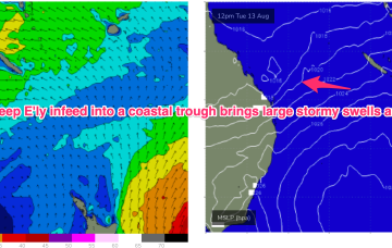
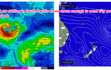
We have a strong (1033hPa) high in the Tasman, with a deep E’ly flow through the Coral Sea feeding into a coastal trough along the QLD coast. That trough is drawing down plenty of tropical moisture in the deep onshore flow, and generating sizey, stormy E’ly swells for the sub-tropics.
Most of the swell energy from this system will be aimed at sub-tropical targets, and we will see some real size from the E as winds feed into the trough. Unfortunately, with a straight onshore flow for the peak of the swell.
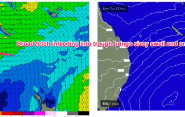
By Tues we see late summer style sizey E’ly swells from a fully developed sea state across the Coral Sea.
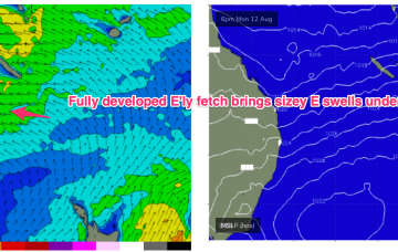
By Mon we’re expecting a deep E’ly flow to have established through our near South Pacific Island chains and extending into the Coral Sea, possibly with an embedded trough or E’ly dip through the Coral Sea.
Winds will slowly ease and improve over the coming days with plenty of swell still in the mix.
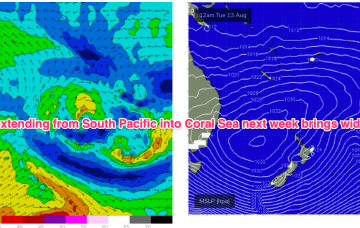
No change to the outlook as a massive, slow moving low pressure system in the Tasman and strong high over Tasmania combine to fill the Tasman Sea with gales to strong gales, generating large swells.
The coming period will be windy, large and limited to selected spots.
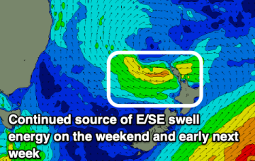
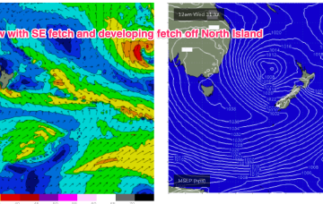
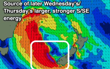
Gales to strong gales develop later Sun and o/night into Mon as a complex low forms in the Tasman. Multiple swell generating fetches are expected to form and sling shot around this huge, slow moving low gyre. Thus we can expect an extended period of large surf next week with embedded pulses from the S through S/SE-SE as the week goes on.
With good model agreement now there’s high confidence we’ll see a major winter swell event next week as a slow moving low takes up occupancy in the Central Tasman leading to a highly energised stormy sea state over a majority of the Tasman Sea.


