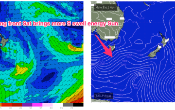
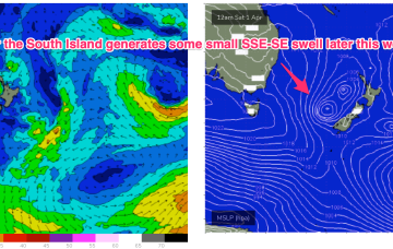
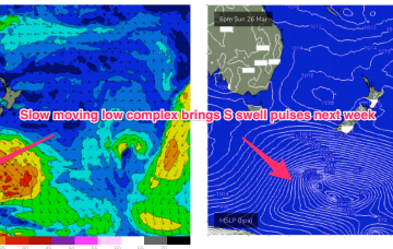
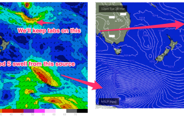
A front sweeping in behind the trough is bringing a clearing W’ly flow through temperate NSW today, reaching the sub-tropics tomorrow. A belt of high pressure below the continent is now weakening and setting us up for a more benign pattern compared to Mondays notes. Small S swell pulses are on the menu from this frontal activity.
Primary tabs
A small trough of low pressure off the Gippsland coast is replaced by another trough system later in the week. Far to the south of this hot, soupy mess a series of stronger polar lows are traversing the Far Southern Ocean, supplying some small pulses of S swell.
Long period S swells will be the dominant swell trains next week as a series of deep low traverse the far southern Tasman Sea and become slow moving in New Zealand longitudes.
High pressure has now moved into the Tasman, weakening rapidly as it does so. In the south a small trough of low pressure off the Gippsland coast is aiding a N-NE flow through temperate NSW. In the Coral Sea a monsoon trough remains active with a persistent but unspectacular trade-wind flow maintaining a small E swell signal. The remnants of a low near the South Island are now dissipating after a final flare up yesterday.
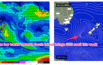
Compared to Fridays notes the front/low in the Southern Tasman is a stronger system while the tradewind pattern is weaker and more disjointed. That will see S quadrant swells dominate through most of the week through temperate NSW, with a smaller tradewind swell signal north of Coffs Harbour.
Plenty of wind to work around next week but windows for the keen with swells from around the compass
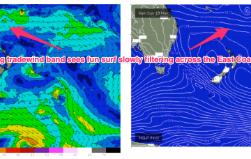
Low pressure centres well to the East of Fiji (near American Samoa), west of Fiji and NW of New Caledonia will all chug away on a long tradewind belt setting up presently and enhanced by a dominant high pressure cell moving SE of Tasmania early next week. Better positioned for the sub-tropics but E/NE swell will filter down the East Coast next week.
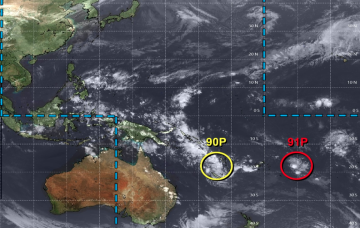
A pair of tropical disturbances straddling the Fijian region are part of an evolving atmospheric dynamic that will concurrently occupy the Coral Sea, Northern Tasman and South Pacific basins over the coming days.
A low pressure system sitting near Lord Howe Island has a reasonable belt of easterly winds on its southern flank, generating new E'ly swells across the region.
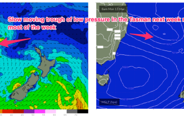
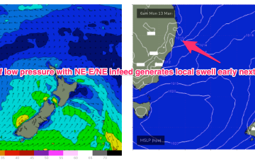
We’ve got reasonable model agreement now on the trough of low pressure in the Tasman early next week. A broad area of low pressure drifts NE to be close to Lord Howe Island on Mon, with ESE-E winds on the southern flank of the low pressure area. That system does look to persist in the Tasman at least until the middle of next week, generating fun sized SE-E swells.
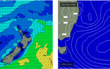
The complex low pressure gyre is slowly moving under Tasmania with the majority of any swell generating winds in the swell shadow of Tasmania. Hot air being dragged down from tropical Australia is now slowly being displaced by the cooler air from the Southern Ocean and driving a synoptic W’ly flow across temperate NSW with the sub-tropics still subject to hot, Spring-like N’lies.

