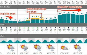
Although the south and east swells have punched above their weight over the last 18 hours, this doesn’t necessarily mean we’ve got a major upgrade for the weekend surf forecast.
Primary tabs
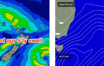
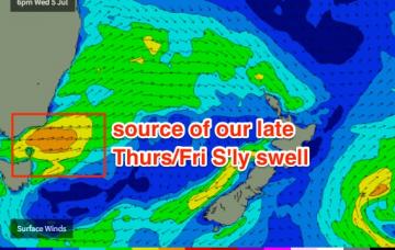
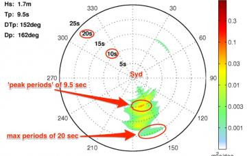
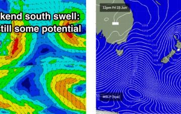
The models have slightly weakened the front exiting eastern Bass Strait (for tonight), which has both eased the projected size for the flukey south swell I was expected later Thursday, and also narrowed the peak of the event into a short timeframe - most of which will occur overnight Thursday.
We’ve got a spell of generally small surf ahead.
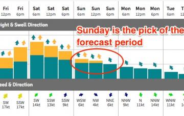
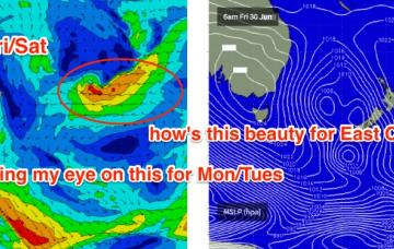
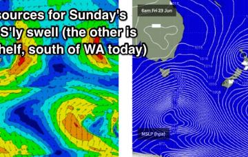
A secondary front wrapping around the core Tasman Low overnight tonight - but positioned further east in the Central Tasman Sea - will generate a secondary S/SE thru' SE swell that should fill in on Sunday morning.
We’ve got two completely different days ahead to finish the week.
There are a couple of sources of new swell for the coming days.
The weekend forecast has become a little more complex, from our south swell window.
Friday is looking much better with a new ridge of high pressure swinging winds around to a moderate W/NW. This should groom the beaches nicely with the combo of E’ly and S’ly swells.
We’ve got some really good waves ahead this week.
The current S/SE groundswell will ease through the weekend, so you’ll have to be up early to make the most of the leftovers.


