/reports/forecaster-notes/sydney-hunter-illawarra/2017/08/25/easing-saturday-complex-sunday-then
thermalben
Friday, 25 August 2017
Sunday is complex from both a wind and swell perspective.
/reports/forecaster-notes/sydney-hunter-illawarra/2017/08/23/average-surf-finish-week-long-period-sly
thermalben
Wednesday, 23 August 2017
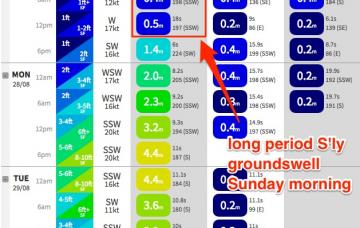
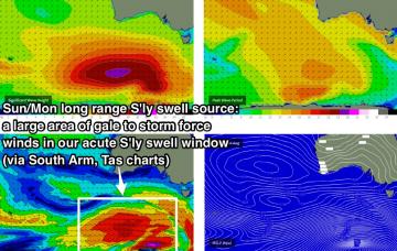
We have some interesting long period S’ly groundswell on the way for Sunday.
/reports/forecaster-notes/sydney-hunter-illawarra/2017/08/21/mainly-residual-swells-coming-week
thermalben
Monday, 21 August 2017
By comparison, this week's looking a little lacklustre.
/reports/forecaster-notes/sydney-hunter-illawarra/2017/08/18/large-weekend-sly-swell-best-monday-size
thermalben
Friday, 18 August 2017
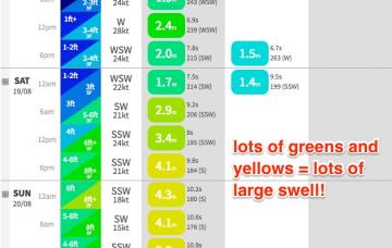
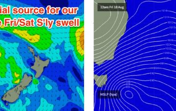
There’s a lot of southerly activity expected over the coming days. Our surf will originate from three primary sources.
/reports/forecaster-notes/sydney-hunter-illawarra/2017/08/16/large-weekend-out-south
thermalben
Wednesday, 16 August 2017
We’ve got a big weekend of south swell ahead, but prior to then the outlook is pretty tricky.
/reports/forecaster-notes/sydney-hunter-illawarra/2017/08/14/small-residual-swells-much-week-large
thermalben
Monday, 14 August 2017
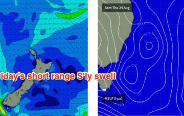
Friday is expected to deliver another funky south swell from the same acute swell window the generated yesterday’s and today’s waves.
/reports/forecaster-notes/sydney-hunter-illawarra/2017/08/11/sunday-and-monday-have-complex-south
thermalben
Friday, 11 August 2017
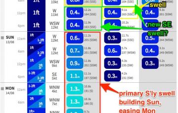
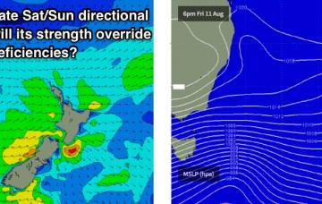
Ooooh, we’ve got a tricky weekend of south swell ahead.
/reports/forecaster-notes/sydney-hunter-illawarra/2017/08/09/more-south-swell-way-sunday-looks
thermalben
Wednesday, 9 August 2017
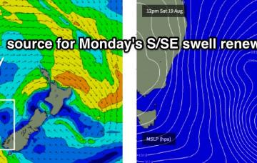
The current southerly swell will ease overnight but we have a renewal of S/SE swell due very late Thursday and into Friday.
/reports/forecaster-notes/sydney-hunter-illawarra/2017/08/07/plenty-south-swell-ahead-week
thermalben
Monday, 7 August 2017
A deep Tasman Low is forming east of Tasmania, and strong fronts wrapping around its western flank will generate fresh southerly swells for the next few days.
/reports/forecaster-notes/sydney-hunter-illawarra/2017/08/04/small-weekend-late-next-week-looks-great
thermalben
Friday, 4 August 2017
Surface conditions are looking excellent this weekend. But, there won’t be a lot of surf around.

