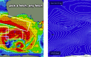
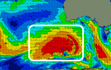
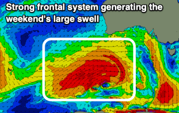
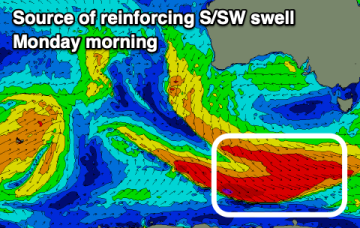
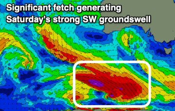
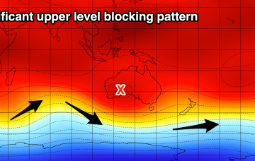
The storm track for the end of this week and weekend looks very impressive on the synoptic charts, but once you analyse the surface wind field, it starts to fall apart at the seams, just a little bit.
Primary tabs
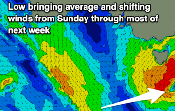
The long term looks more typical for Victoria wind-wise, with an amplifying long wave trough west of the state maintaining moderate to fresh NW winds for much of the week.
The final wind outlook for the weekend is in, while most of next week is a write-off.
Our large swell is still on track but the local winds have shifted.
Make the most of today across the beaches before focussing on the weekend.
Make the most of the coming days of cleaner surf before things go quite next week.
The coming days will be workable but the weekend onwards looks good to great for selected spots.
We've got a very un-winter like forecast with lots of winds from the eastern quadrant but some fun groundswells on the way.
A deepening mid-latitude low due through the weekend has been fast tracked and weakened.
Another tricky mid-latitude low looks to move into our swell window on Sunday, but again the swell from it isn't overly reliable.

