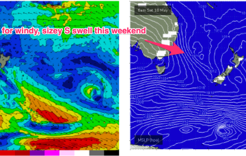
Local swell sources dry up but polar lows better aimed at Pacific targets will send some long period S swell up the pipe over the weekend and early next week before a more subdued outlook takes hold.
Primary tabs
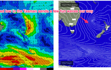
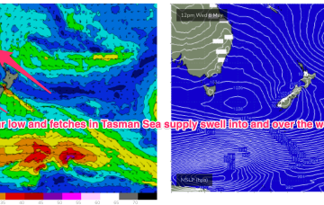
The remnants of the weekend’s low pressure trough are currently being reinforced by another cold front and expected to form a broad low pressure system in the Tasman in the short term which will supply some fun waves this week with an easing trend into the weekend.
Big and windy for Sun with fresh to strong SW-S winds early, tending strong S’ly all day.
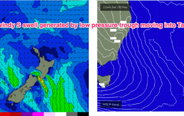
Backed by a strong high we’ll see very tight coastal pressure gradients with strong to potentially gale force S’lies Sat and a large windy S swell.
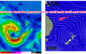
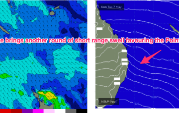
We’ll see some small S/SE-SE swell as the new high pressure ridge builds a windfield in the Coral Sea and Northern Tasman but this will be smaller and weaker than previous swells of this ilk
We’ll see some long period S swell filter into NENSW across Sat a’noon at S facing beaches, holding through Sun.
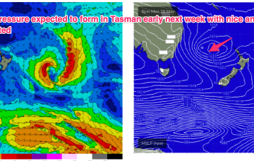
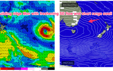
The resulting high pressure ridge is leading to deep onshore flows and a trough along the coast is expected to move offshore Sun and form a broad trough of low pressure early next week.
In fact, it becomes reinforced by a new high and this peanut high straddling Tasmania will hold a firm ridge along most of the Eastern Seaboard with another working week of SE winds, gradually backing off into the weekend. A stalled trough looks to linger off the coast bringing plenty of unstable weather and possibly windows of lighter winds
Monster high pressure has barely budged since Wed, maintaining a S-SE flow right up the Eastern Seaboard, with a coastal trough ensuring plenty of unstable, rainy weather.
With a widespread E-SE wind field in the Tasman at a minimum we’ll see moderate amounts of E/SE-E swell through the first half of next week with another round of fun surf on the Points.

