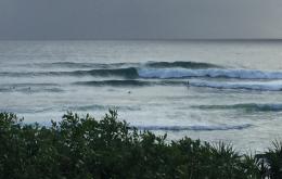
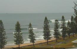
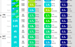
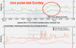
It’s a simple trend over the weekend - slowly easing E’ly groundswell, and more steadily easing short range SE swell.
Primary tabs
Without regurgitating the same analysis as previous forecasts, it’s probably worth honing in some specific points about the upcoming swell(s), so that expectations are kept in check.
All in all, this is a very good swell and wind pattern for December in SE Qld.
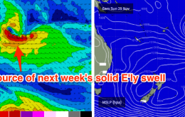
As for the late-next-week-thru’-weekend peak in easterly groundswell: early indications are that we’ve got a great run of solid surf on target for the points.
Nothing amazing is expected this weekend, but there’ll be some fun small waves about most coasts.
This is still early days, and November is not an ideal month for positive speculation across Southeast Queensland.
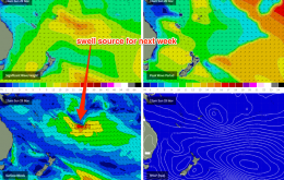
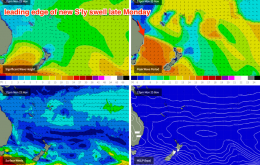
The long and short is that there’s plenty of south swell due from Monday right through until next Sunday - almost a week of of persistent energy from the southern quadrant.
The models have moved around quite a bit over the last few days, and the weekend outlook has changed considerably.
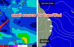
A trough in the Northern Tasman Sea is working in conjunction with an advancing high pressure system in the southwest, to maintain a fresh SE fetch through the central Tasman. This is generating a new SE swell that’s due to arrive this evening, before easing in size throughout Tuesday.
I reckon we’ve got some really nice waves on the way for the first half of next week.

