No change to the weekend trend outlook, with the current south swell easing rapidly both days.
Primary tabs
A trough line moving north-wards along the NSW Coast is spawning a surface low pressure system today, with the pressure gradient between the low and a high advancing through the interior creating a stiff S’ly flow along the coast.
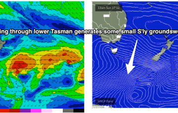
The remnants of the Tasman Low (ex ECL) are now drifting near the South Island, on top of a large high which is slowly moving out of the Tasman Sea. A high is approaching from the South Australian interior, with a trough expected to form off the coast later Tues and develop a broad, relatively weak low in the Central/Northern Tasman.
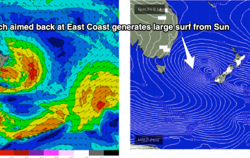
The new trough/low is generating gales out of Bass Strait and up towards the South Coast. The main low is drifting towards the South Island and intensifying today, with gales to severe gales expected to retrograde NW back into the Tasman Sea.
A massive cloud-band is enveloping most of the Eastern Seaboard, tied to a complex low pressure system in the Tasman, and strong high pressure system with both systems slow moving. Multiple trough lines also complicate the situation, leading to uncertain movements of the main low, and development of secondary low pressure centres, of which one is forming off the Mid North Coast today (between Coffs and Port Macquarie).
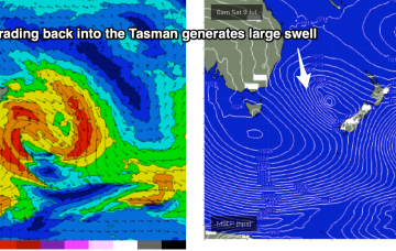
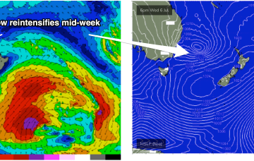
Tasman Sea is looking very, very spicy this week with our current low looking to meander N and E, then S and reintensify later in the week, sending fun-sized swell to the East Coast with mostly favourable conditions in our sub-tropical region.
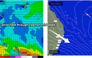
By Wednesday it looks like a classic La Niña map. Strong high just SE of Tasmania with a low in the Central Tasman directing a huge windfield through most of the Central to Northern Tasman Sea.
By Wednesday it looks like a classic La Niña map. Strong high just SE of Tasmania with a low in the Central Tasman directing a huge windfield through most of the Central to Northern Tasman Sea.
A complex trough spanning much of the East Coast will develop over the next few days, of which the latest model guidance is pointing towards a significant easterly trough low (that may become an ECL) slowly evolving from Saturday through the first half of next week.
A potentially explosive pattern was mentioned last Mon, for the period leading into the first weekend of July and models are now firming on a strong coast hugging low moving south from the Coral Sea during this time frame. That portends plenty of wind, swell and potentially severe weather.

