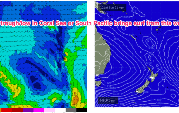
We’ve got a dominant (1035hPa) high pressure cell sitting just north of the Victorian border, bringing settled conditions and light winds to Central/Southern NSW and strong but easing SE winds in the sub-tropics where a trough of low pressure in the Coral Sea is currently active but dissipating and moving East.
Primary tabs
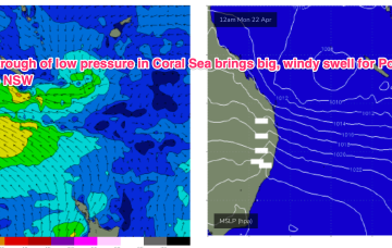
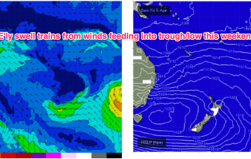
By Mon morning we should have a complex trough of low pressure NE of K’gari (Fraser Is) with a well developed fetch of strong SE winds feeding into the low and extending well out into the Coral Sea.
The gist of it is a trough line in the Coral Sea, which may deepen into a low pressure system and drift towards the North Island (GFS scenario) or move towards the QLD coast as a coastal trough and intensify a NE infeed into the SEQLD, then NSW Coast possibly as early as Tues.
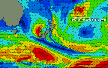
Mid to late afternoon, the leading edge of a new long period E’ly swell will make landfall, though we’re not expecting wave heights to peak until...
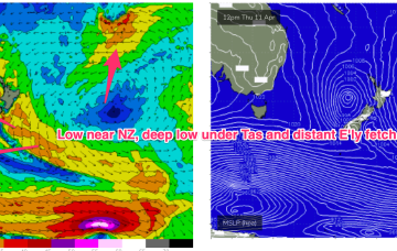
We’ve still got the intense Tasman low in the picture sending plenty of strong SE swell our way, located now off the west coast of the South Island, with a large slow moving high SW of WA and powerful fronts under the SE of the continent.
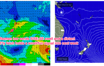
There’s currently a robust Tasman low, still intensifying, moving slowly SE off the Central NSW coast down into the Tasman Sea towards New Zealand. Gales to severe gales wrapping the SW flank of the low will supply plenty of strong S’ly swell through the rest of the week.
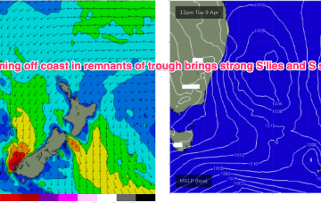
That’s allowing plenty of space for low pressure development in the Tasman and as a front pushes through and combines with the remnants of a trough we’ll see a robust low develop through tomorrow, with gales expected close to the coast.
The moist onshore flow from this set-up is flowing into a coastal trough and interior low bringing onshore winds and rain as well as developing E swell. We’ll eventually see the low and trough clear the coast bringing better winds Sun/Mon with some strong S swell on the menu for next week from Tasman Sea and deeper sources.
The Mid North Coast will see stormy, poor surf developing later week and into the weekend, improving slowly from Sunday.
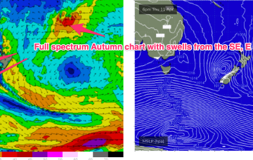
A complex inland trough low tied to tropical sources exits the coast as a strong high moves into the Bight. Following that a coastal trough in the Northern Tasman then deepens, likely into a surface low which may drift southwards bringing E swells to the entire region, possibly followed by a return S swell as the low gets captured by an approaching front.


