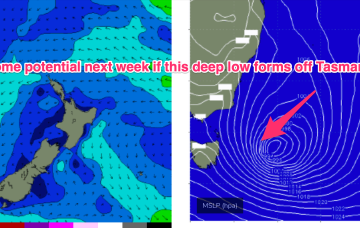
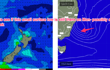
A compact low is tracking SE away from Tasmania with a nice slingshot fetch in the process of entering the Tasman adjacent to the Apple Isle. A retrograding fetch in the South Pacific is currently active and expected to send some fun surf our way over the weekend and into early next week.
Primary tabs
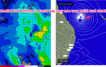
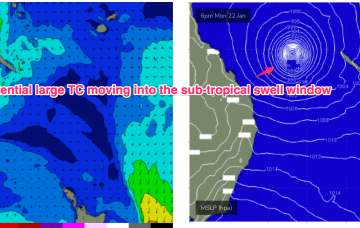
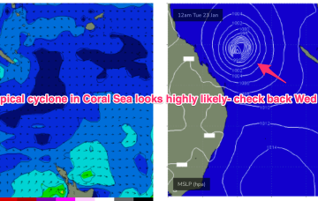
In the South Pacific we have a retrograding trough of low pressure along a tradewind band and finally, the Northern Australian Monsoon (NAM) is in full swing and a tropical low is expected to bud off the end of the monsoon trough into and over the weekend, with a reasonable likelihood of cyclogenesis into next week.
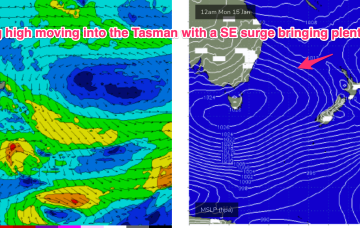
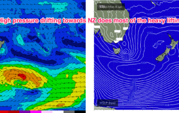
Very active pattern to start the week with a large high (1029hPa) moving E of Tasmania with a SE surge enhanced by a trough along the leading edge of the high, and active Monsoon Trough extending in to the Coral Sea and an approaching complex low well to the SW of Tasmania. Add in a long tradewind fetch in the South Pacific. All these features are potential sources of surf in the short to medium term.
A monsoon trough sits over Northern Australia terminating in the Coral Sea, with a strong high moving into the Tasman to start next week. The resulting SE surge up through the Tasman into the Coral Sea generates plenty of swell as the fetch spreads out across the Tasman.
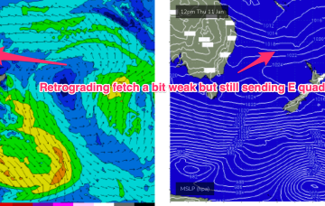
The compact low near Tasmania is now skipping away to the SE with a large high SE of the South Island (1034 hPa) interacting with a broad low pressure trough in the South Pacific which will supply E’ly quadrant swell in the near term as the low pressure trough retrogrades back towards the east coast.
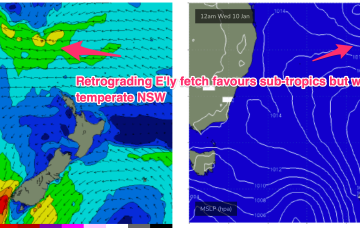
Once the Tasmania low clears there picture we’ll see monsoonal activity develop through the South Pacific/Coral Sea, likely with a broad area of low pressure squeezing pressure gradients along a long fetch between the North Island and near Island chains and retrograding back towards the East coast through the second half of this week.
Surf-wise the fetch off the top of the high and a broad troughy area, holds another round of E’ly quadrant swell in the 2-3ft range, very similar to the last round. Quality will be wind affected but we should see light enough winds in the morning for glassy lightly wind affected surf.
Not a great deal of change since Mon with a slow moving, weakening high in the Tasman, and a coastal trough off the QLD Coast (responsible for hundreds of mm of rainfall) now moving away and dissipating. A trough moving north from a position east of Tasmania brings a renewal of the S’ly pattern into Fri before the summer pattern slowly resets over the weekend.
We’ve got a moderate strength high pressure cell (1025hPa) in the Tasman, connected to a high pressure belt under the continent, directing NE winds in Central/Southern NSW, more E-SE in the sub-tropics where a broad troughy area is directing a stronger onshore flow and whipping up local swells from that direction.
No great change to the weekend f/cast. Just a small, weak mixed bag of leftover S swells and E swells to 1-2ft at best Sat, similar or smaller Sun.

