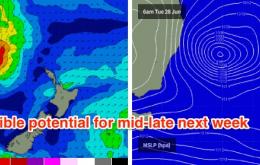
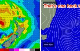
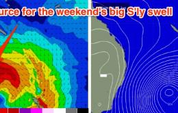
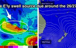
The models have slightly tweaked the specs on the developing low off the southern NSW coast tonight.
Primary tabs
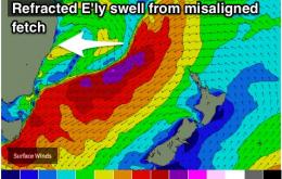
In addition to the broad coastal fetch there are two other swell generating regions within this system that are of much greater interest to me.
The models are still holding steady for the weekend.
The stationary nature of the low at this time still suggests we could see some mid-week swell across exposed south facing beaches in Northern NSW.
Saturday is still a much better choice than Sunday, for all coasts. We’ve got a developing coastal trough for Sunday that’s going to generate NE tending N/NE gales, and this will write off just about everywhere for the second half of the weekend.
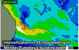
The active trade belt through the northern Tasman Sea and Coral Sea is slowly easing and contracting to the north. This means we’ll see a gradual easing in surf size over the coming days.
It’s a pretty standard round of summer surf ahead for South-east Queensland and Northern NSW. Except we’re about to begin the third week of winter.
On Sunday, a new ridge will strengthen across the coast, driving gusty southerly winds across most regions.
Easing easterly groundswell energy with some new south swell developing over the weekend. Building E/SE trade-swell next week.
Offshore breezes look to persist each day of the week as an E'ly swell slowly fades. S'ly groundswell due to peak on Sunday.


