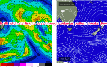
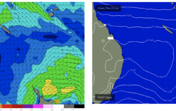
A summer style pattern is seeing tropical moisture dragged down the East coast by a trough and deep E/NE-NE flow from a large high in the Tasman, generating large swells for Central QLD.
Primary tabs
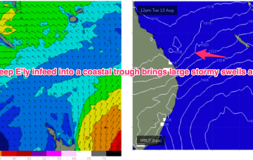
We have a strong (1033hPa) high in the Tasman, with a deep E’ly flow through the Coral Sea feeding into a coastal trough along the QLD coast. That trough is drawing down plenty of tropical moisture in the deep onshore flow, and generating sizey, stormy E’ly swells for the sub-tropics.
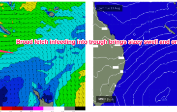
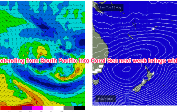
No change expected to the broad pattern next week with strong high pressure moving into the Tasman and a broad, deep E’ly fetch developing through the Coral Sea, with an embedded trough.
No change to the broad pattern expected next week which is strong high pressure in the Tasman and and deep E’ly fetch developing.
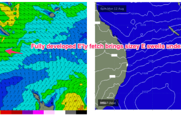
Into the mid next week and we should see some real size about as the persistent E’ly winds generate a fully developed sea state through our near swell window.
SE winds have supplied some just rideable surf through today.
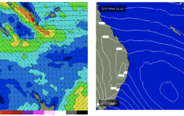
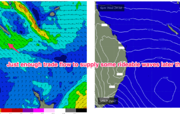
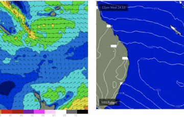
Lovely settled conditions at the moment with a broad area of high pressure in the Tasman and a broad but weak tradewind fetch just moving into a better position S and SW of New Caledonia. That will see some small E/NE swell develop through the end of this week into the weekend.
Central QLD Forecaster Notes by Steve Shearer (updated on Mon July 22nd)
This week and next week (July22-Aug 2)
Central QLD: Small, rideable surf from mid week
Nothing over the weekend and into today.

ECMWF has a slightly stronger tradewind style fetch extending southwards from the tropics into the Central Coral Sea by mid next week.
With all the action down south the Coral Sea is in a classic mid-winter flat spell and will remain so right through this week and into next week.

