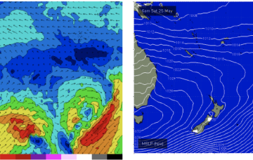
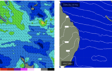
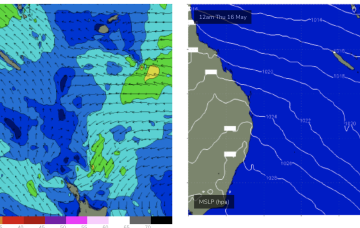
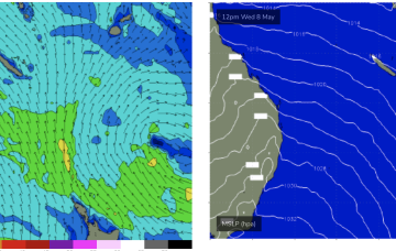
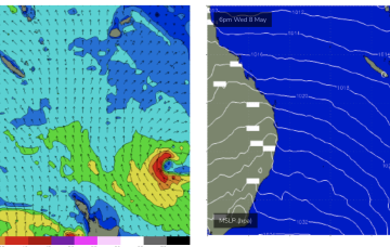
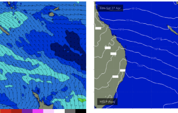
That will see SE winds for sub-tropical areas with a small, building trade swell to ride.
Primary tabs
We’ll see some small SE swell as the new high pressure ridge builds windfield in the Coral Sea and Northern Tasman but this will be smaller and weaker than previous swells of this ilk.
A broad windfield in the Coral Sea is maintaining fun waves and this pattern will extend over the weekend.
The resulting high pressure ridge is leading to deep onshore flows and a constant steady state fetch in the Coral Sea which is producing fun waves across CQ this week.
As the SE surge takes hold we’ll see a further increase in swell, possibly not until Wed now with fun surf extending right into the weekend.
The high becomes even more slow moving as it approaches Tasmania so we’re looking at S-SE flow over the weekend. And with winds in the Coral Sea, plenty of E/SE swell.
Into next week and we’ll see more of the same as another surge fills the Coral Sea early next week, holding or even rebuilding wave heights from Tues.
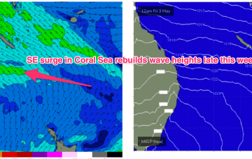
By Wed we’ll see a fresh SE surge build and that will see wave heights come up a notch Thurs into the weekend as SE winds fill the Coral Sea.
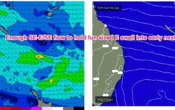
Small E/SE swell holds early next week- generated by winds in the Coral Sea and the slot between New Caledonia and the North Island and offering up fun, rideable waves on low tides.
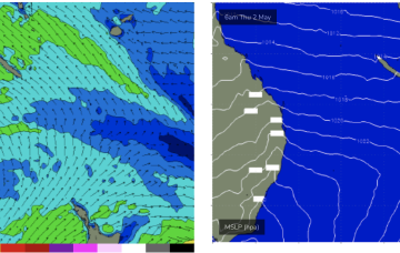
A monster high (1037hPa) moves into the Bight tomorrow and slowly weakens as it enters the Tasman on the weekend, bringing SE winds into the Coral Sea and holding a small signal of SE-E/SE swell that will hold just rideable surf.

