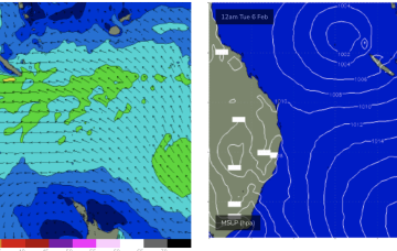
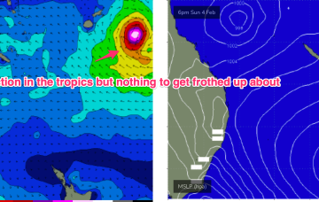
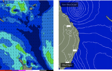
E’ly winds continue into next week, through this period and in fact most of next week we’ll continue to see pulsey E’ly swells coming off the deep E’ly fetch.
Primary tabs
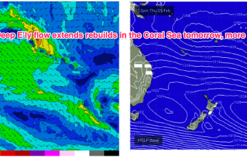
Multiple cells of reinforcing high pressure then one by one move into the Tasman, maintaining a weak ridge up the NSW Coast and a deep E’ly flow through the South Pacific and Eastern Coral Sea, with resulting E’ly swells favouring the sub-tropics for size, with a rebuild in size expected later this week.
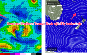
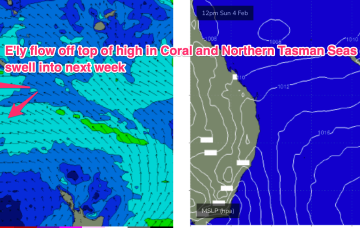
Large high in the Tasman directing plenty of E’ly-SE’ly tradewinds through the Coral Sea and South Pacific slot. Typical summer wind pattern with E-E/SE winds in the sub-tropics.
The E’ly-SE’ly fetch gets reinforced later Sat by a new high pressure ridge squeezing up against a tropical low hovering NW of New Caledonia so we should see surf start to build again through Sun.
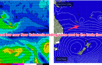
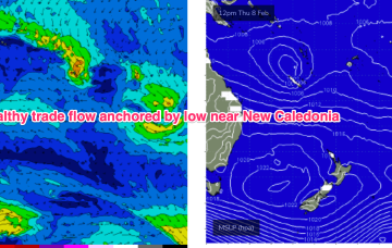
A semi-stationary area of low pressure in the Coral Sea is anchoring a broad trade-wind flow with an extended tradeswell event ahead.
The low sits semi-stationary new New Caledonia from today, anchoring a tradewinf flow in the Coral Sea that will provide an extended period of fun waves for CQ, especially spots open to swells through the Breaksea Spit- Capricorn Channel swell window.
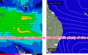
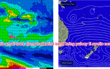
The monsoon remains active with a small sub-tropical low movingE off the QLD coast where it may undergo further development In the Coral Sea in the medium term. A typical summer tradewind band cradles this low next week with plenty of E quadrant swell expected, favouring the sub-tropics for size.
A northwards moving trough brings a SE-E/SE flow into the CQ swell window north of Fraser later Wed with small E/SE swells developing Thurs.
No change to the short term f/cast. TC Kirrily has now crossed the NQ coast leaving a light N’ly flow in the Coral Sea and no real swell generating winds. That will see tiny/flat surf over the weekend and extending into next week.
We’ll see fun waves peak through Thurs morning before easing into Fri and becoming tiny over the weekend.

