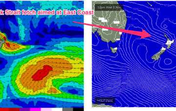
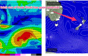
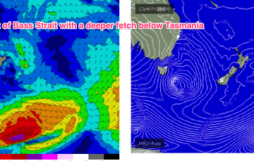
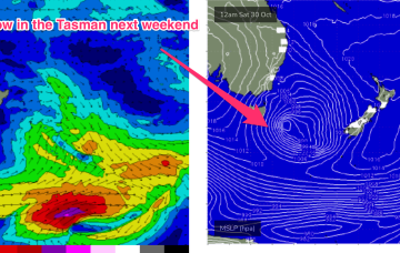
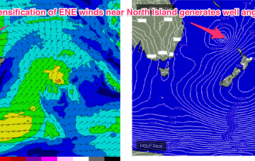
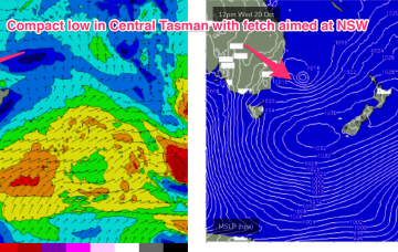
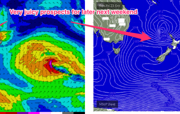
The fetch out of Cook Strait, extending up past Taranaki Peninsula and into the Tasman sea looked good on ASCAT (satellite windspeed) passes through Wed/Thurs, with areas of storm force winds embedded in a long fetch of severe gales to low end gales. With the buoys and observations already confirming the swell it’s only local winds we’ll be concerned with this weekend.
Primary tabs
Current ASCAT (satellite wind speed) passes show areas of the fetch already at storm force strength as it develops in the areas mentioned above, leading to high confidence in the upcoming f/cast.
A low pressure system developing north of New Zealand’s North Island drifts south to be over the North Island Wed, and while that blocks most of the fetch from generating swell for the East Coast, it does shoot out a fetch through Cook Strait Wed/Thurs which looks like a tidy source of ESE swell for the region Fri/Sat.
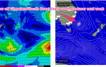
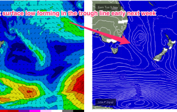
No change to the headline feature this weekend: another robust low forming in a trough line East of Tasmania. It does seem to be running early, with gales to storm force winds now expected out of Bass Strait through the early afternoon and winds now tending SW through the evening in Southern NSW.
For now though, the interplay between the approaching low system and high in the Northern Tasman is setting up a N’ly flow which will take us through the to end of the working week.
The current synoptic pattern is a low pressure system E of Tasmania directing a fetch of SSW to S strong winds to low end gales adjacent to the NSW South Coast. This low then eases as it moves out into the Tasman sea later today.
The current Tasman low has drifted out and become absorbed into a long, NE/SW angled trough in the South Pacific, which is currently organising and energising a broad but thin fetch of E’ly gales from the South Pacific down into the Tasman Sea adjacent to the North Island.
The interplay between the two systems is producing a fetch of E/SE winds through the Central Tasman, in effect a sub-tropical looking tradewind style fetch we might see in Summer.
From there we see a large, southwards located high and multiple troughs located in the Tasman sea and inland become the dominant synoptic features for the week. This is going to set-up some tricky, short-lived fetches as well as another week of multiple wind changes.
Very dynamic, unstable week ahead that has a very La Nina looking signature to it. Primarily the strong, southwards located high and a very troughy pattern in the Tasman sea, that has good swell potential for the region.

