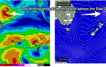
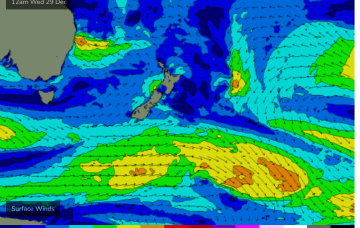
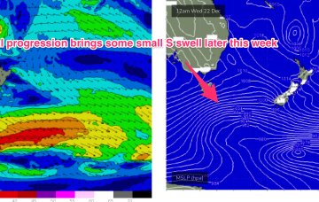
Our current synoptic pattern is typical of the season and the La Nina end of the ENSO cycle. High pressure straddles New Zealand and a tropical low now is drifting south from between Fiji and Vanuatu towards the North Island.
Primary tabs
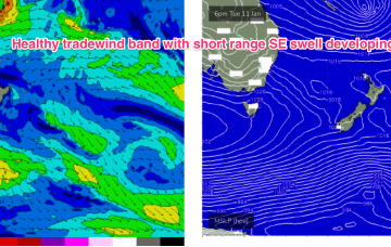
By Thurs the wave climate will come under the influence once more of the tropics, with a broad Tradewinds band being accelerated by a tropical low drifting South from area between Fiji and Vanuatu.
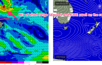
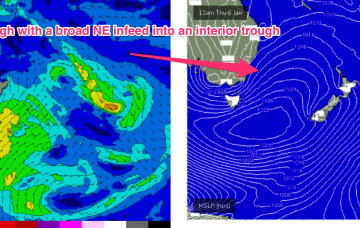
A strong high is now slipping in underneath Tasmania and the combination of the decaying ex cyclone, developing high pressure ridge and an interior trough is creating a long, broad fetch E/NE winds extending from New Caledonia down into the Central Tasman Sea.
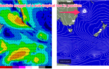
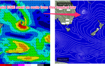
Swell from ex TC Seth, which transitioned into a gale force sub-tropical low Sun is the major synoptic feature this week, responsible for both swell production and directing gradient winds as it slowly weakens and meanders close to the NENSW/SEQLD coast for the next few days.
While there is still a bit of model variance the broad scale pattern is clear enough to make a high confidence call on Mon seeing a significant pulse of E/NE groundswell across the region.
Surf prospects from this low are now upgraded to excellent with major weather models expecting the system to track parallel to the East Coast on a Southerly path, possibly reforming as a significant extra-tropical storm in the lower Tasman Sea next week.
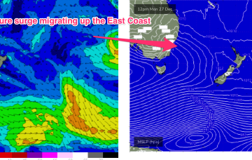
A strong 1033hPa high is located well to the south of the Bight, with a ridge now surging up the East Coast. In the tropics the Monsoon trough is now active, with good odds of cylogenesis before the New Year
As discussed on Wed, we see a major pattern change next week after the troughy, doldrums pattern this week.
Very weak pressure gradients everywhere as we continue to meander through this troughy, doldrums pattern with small, weak surf. Lots of action ahead next week.
Lots of wind changes and small, flukey swells ahead this week as a Spring looking pattern unfolds in the week leading up to Xmas.

