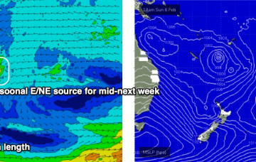
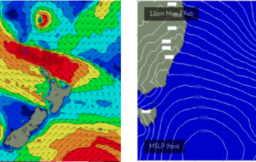
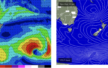
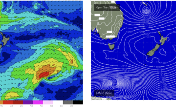
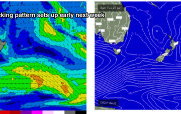
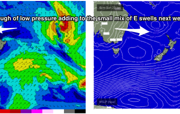
As mentioned on Monday, we've got an unusual synoptic pattern setting up in the Tasman Sea.
Primary tabs
We've got an unusual blocking pattern setting up for the weekend. Plenty of waves on the way too.
The charts will show a low pressure system tracking in from the South Pacific with a very healthy fetch between the tropical low and a supporting high straddling New Zealand.
First, from the west as a trough/low tied to the Southern and Indian Oceans moves through WA and SA and then from the East as a tropical low drifts into the slot from behind New Caledonia this weekend. That spells a lot of surf ahead.
The charts will be looking good as low pressure steams around the corner from New Caledonia and drops into the slot but we won’t see swell from that until the following week.
This is maintaining the ridge of high pressure along most of the East Coast, with a slight and slow easing of pressure gradients expected over the weekend.
A classic Summer blocking pattern is now setting up, with a slow moving high drifting well south of Victoria and a series of troughs interacting with a strong high pressure ridge which has reached Central NSW and is now building into more sub-tropical regions.
A trough brings a S’ly change tomorrow , with another strong high tracking south of the Bight poised to be the main weather feature this week.
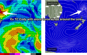
TC Cody is the main game in town and the system has now undergone extra-tropical transition and is classified as a storm force sub-tropical low.
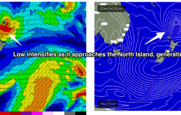
Current ASCAT (satellite windspeed) passes show a healthy fetch of E’ly winds flanking a tropical low as drifts south of the area between Fiji and New Caledonia towards the North Island.

