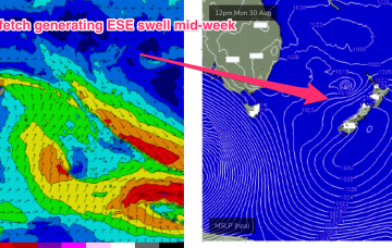
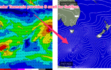
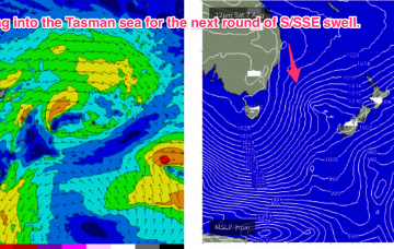
Current ASCAT (satellite windspeed) passes show our Tasman low in a great place, slowly drifting E of Tasmania towards New Zealand, maintaining a nice pressure gradient squeeze with a high pressure cell SE of Tasmania. As expected, the low has filled in a bit, with a corresponding lessening of windspeeds, mostly low end gales, compared to the storm force winds of it’s “bombing” phase.
Primary tabs
The Tasman low finally moves into better position later Thurs into Fri, weakening as it does so. The weekend still looks great though, just smaller due to the declining windspeeds on the SW flank of the low, compared to Monday’s notes.
The weekend's extremely warm, benign weather is about to be swept away by a wintry blast as a trough following the passage of a cold front later today interacts with a cold pool and forms an explosive surface low Tuesday morning.
Not much joy for the weekend but we'll see the surf ramp up rapidly through next week as a Tasman Low develops right off the southern NSW coast.
Next week looks really active now, with a few different swell sources in the offing and a fair bit of model divergence which we will need to resolve on Friday.
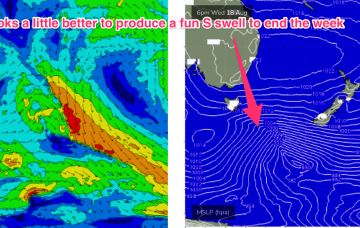
Gales exiting Bass Strait today will see a first pulse of weaker refracted S swell early tomorrow but the real juice is being generated by a deeper fetch of severe gales tracking from 55S up to 40S, into the Tasman sea through today and early tomorrow.
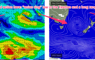
This is another impressively large and complex system, with a double headed low centre forming in the deep southern ocean around 60S and a more proximate cold front fetch expected to push NE to be adjacent to Tasmania through Monday morning.
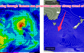
The very active Southern Ocean pattern reaches a crescendo late Sun into Mon with an intense, complex polar low which becomes slow moving as it enters the Tasman sea swell window.
Energy radiating from this source fetch is expected to see a slow tail off in wave heights through tomorrow, with some rideable leftovers Wed, but you will have to deal with freshening N’ly winds.
Our “long tail” is still on the menu to start next week. With the small but intense low becoming slow moving as it drifts NE up towards the Northern peninsula of the North Island, crossing it overnight Sun.

