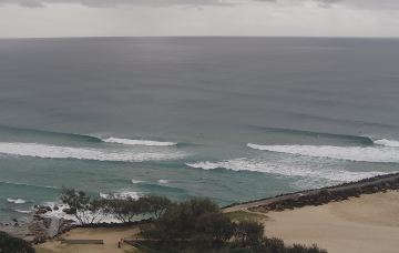
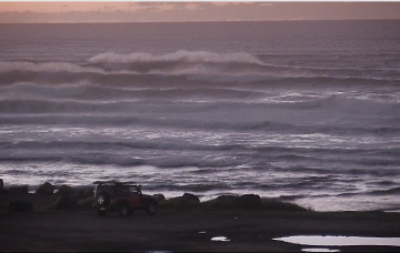
Low pressure troughs off the NSW and SEQLD coast combined with high pressure over the interior and frontal activity to the south are driving a W’ly flow across the Eastern Seaboard, perfectly timed for a quality E’ly groundswell. We’ll see a slow easing of this swell event over the coming days with all day offshores expected.
Primary tabs
No shortage of east swell this weekend, with the low in the northern Tasman Sea generating some impressive energy that'll build through Saturday towards a peak early Sunday.
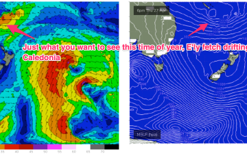
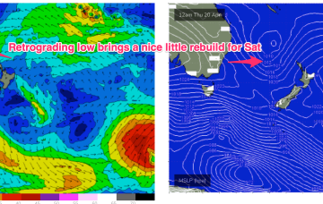
A broad trough of low pressure is expected to bud a surface low near New Caledonia over the short term, generating more quality E-E/NE swell as the low drifts through the South Pacific slot and into the Tasman.
The major swell generator will a broad fetch of SE-E/SE winds in the Coral Sea/Northern Tasman which will be enhanced later in the week as a broad tropical low tracks southwards from New Caledonia and into the wide open Eastern swell window. This will keep the sub-tropical Points pumping with a rebuild in quality E’ly groundswell later this week and into the weekend.
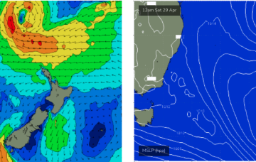
The trough block will break down over the weekend, to be replaced by a very strong high pressure system in the Tasman Sea
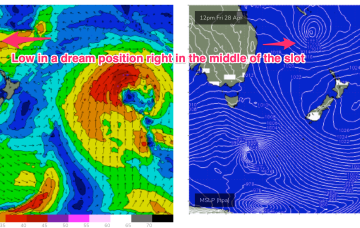
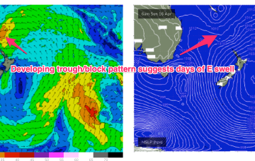
We still have the trough block pattern in place with the South Pacific low centre contracting away to the NE while a secondary low centre retrogrades back into he Tasman Sea. An anchoring high, is being shunted away with a trough and front expected tomorrow before a new dominant high moves in from the Bight.
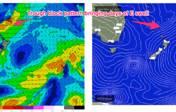
The trough-block pattern set-up nicely over the weekend and we’re looking at a sustained run of swell from the Eastern quadrant. A long, angled trough with embedded low pressure centres on the Eastern flank is concentrating broad E-E/NE infeed fetches in our Eastern swell window.
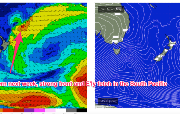
OK, we’re getting more clarity on the dynamic situation expected to unfold next week. The current small low off the North Coast quickly gets whisked away towards New Zealand and becomes enjoined in a long, NW-SE blocking trough pattern, which is expected to have more low pressure centres embedded in it next week.
The broad, complex Tasman low which generated large S swells is now positioned on the other side of New Zealand with a lingering fetch of SSE-SE winds under the South Island. A much smaller, cut-off low NW of Tasmania is linked via a trough line to TC Ilsa off the Kimberly Coast and is expected to drift into the Tasman Sea tomorrow bringing a fresh S’ly flow to round off the week. A dynamic trough blocking pattern is then expected to unfold in the medium term.
The good news is that we're expecting light variable winds under a weak pressure gradient. The even better news is that there's a stack of more swell on the way.

