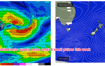
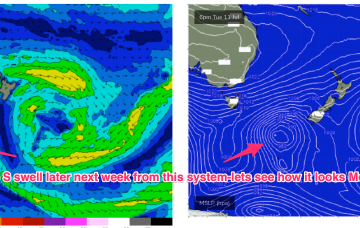
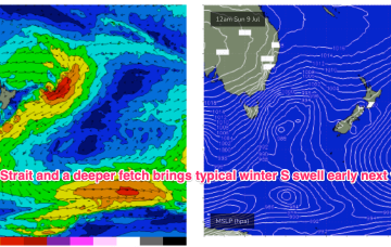
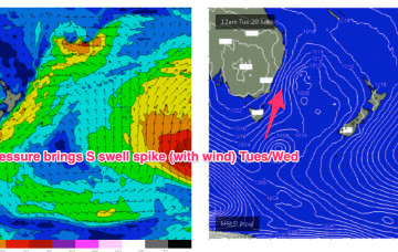
Another week begins with a classic winter El Niño pattern. High pressure over the continent with a W’ly flow being enhanced by a series of mobile fronts and parent lows, sending small S swell pulses our way. Nothing of any size its expected due to the zonal and mobile nature of the fetches so you’ll need to find a swell magnet.
Primary tabs
We’re still on track for basically offshore winds all weekend as high pressure to the north and a series of fronts to the south bring the W’ly belt across the Southern half of the maritime continent up intp the sub-tropics.
Residual S/SE groundswell pulses from the off axis fetch as it drifted slowly SE of the South Island will put a floor under wave heights before we see a fresh round of S swell early next week. Good news for some areas south of the border, with a much less exciting but seasonally expected outlook for SEQLD.
Before we get to that point, we still need the developing S/SE swell to push through, reach a plateau and then slowly abate - which will happen overnight and then gradually through Tuesday.
A series of overlapping south swells remain on the menu for the next three or four days, thanks to a series of powerful fronts sliding around an amplifying long wave trough over New Zealand longitudes.
A massive NW cloud band is drawing moisture in from the Indian Ocean and Arafura Sea via inland troughs. The cold fronts are our primary swell source through this week and into the weekend with next week suggesting the troughs will move offshore and potentially create conditions for swell from the E/NE to SE.
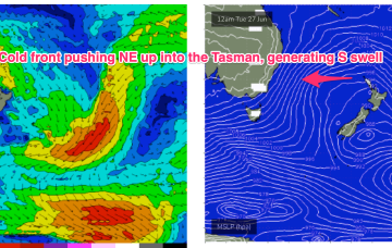
High pressure sitting up at sub-tropical latitudes is allowing a very active series of fronts to penetrate NE into the Tasman Sea. A very slow moving monster high tracking into WA longitudes is anchoring a sustained SW flow as the fronts ride up it’s extended flank from the Southern Ocean into the Tasman. We’ll see multiple S swell pulses from this set-up, becoming stronger over the weekend.
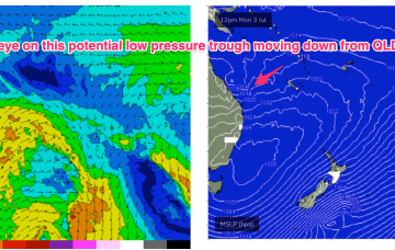
Long lined, inconsistent E-E/SE swell will continue next week, from a source near Tonga then a closer low forming on a persistent trough line closer to the North Island. This closer system is right on the edge of the swell window.
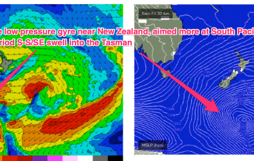
Yesterdays large area of low pressure consolidated nicely in the Tasman and is now slow moving as it approaches the North Island. The head of the fetch reached sub-tropical latitudes, aiding swell spread into SEQLD. Off-axis SSW-SW winds hold through today and tomorrow in the Central Tasman leading to a slow decline in S-S/SE swell for the region through this time frame.
High pressure over the continent its still ridging along it’s Southern flank with a westerly belt creating flat, groomed conditions. A deep, compact low is well SW of Tasmania, weakening as it enters the lower Tasman. A decaying front linked to the low spawns a broad area of low pressure in the Tasman tomorrow and then lingers in the Tasman for most of the week.

